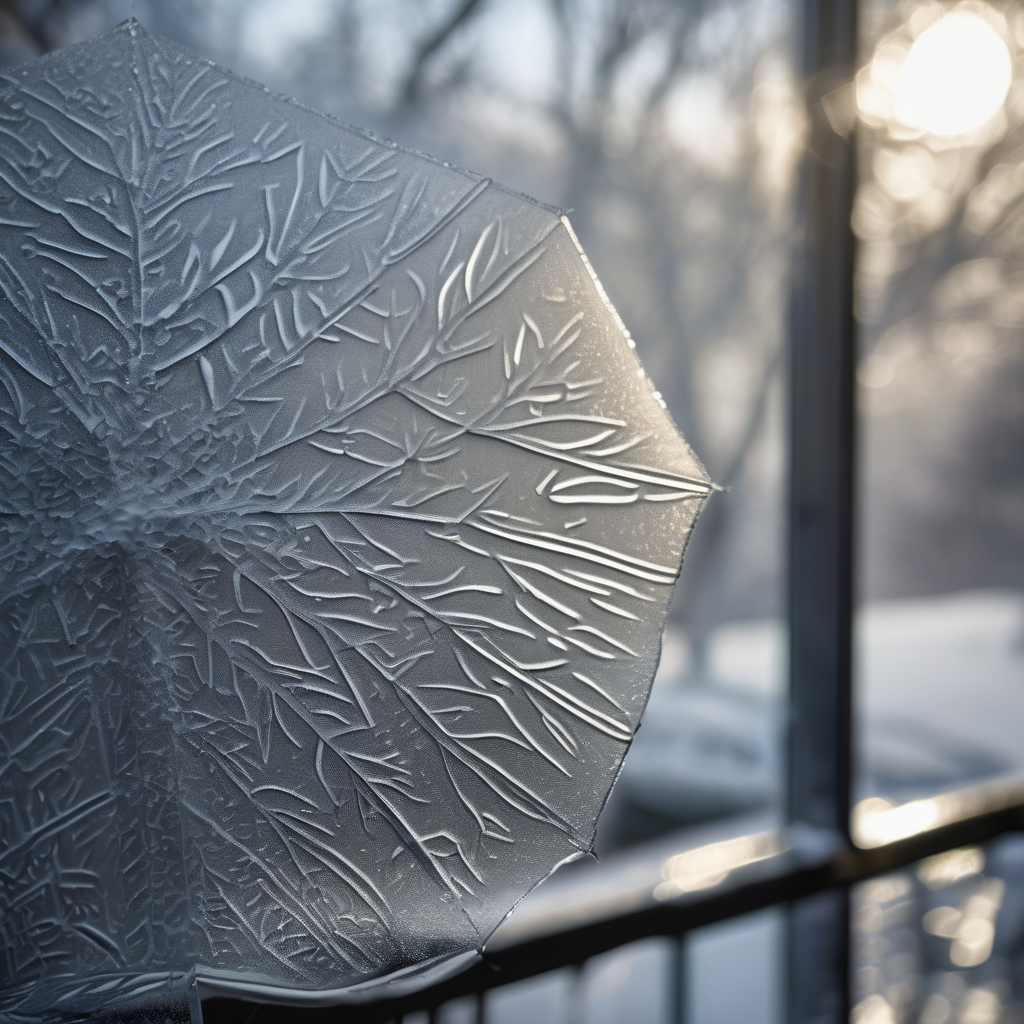
The National Weather Service has issued updated winter storm warnings for New Jersey, forecasting a significant risk of ice accumulation due to sleet and freezing rain. This has led to a reduction in anticipated snowfall across the state. In a Friday night update, the weather service expressed growing concern over the dangerous glaze of ice expected to form, particularly in northern counties such as Hunterdon, Somerset, and Mercer.
Currently, all 21 counties in New Jersey remain under a state of emergency, with travel restrictions implemented to ensure public safety. As of 3 p.m., winter storm warnings were still in effect for Bergen, Essex, Hudson, Passaic, and Union counties, where snowfall of 4 to 8 inches was predicted. However, the forecast has been revised downward due to the influx of warm air aloft that has transitioned precipitation from snow to sleet and freezing rain, particularly south of Interstate 78.
The National Weather Service has downgraded warnings to winter weather advisories for Middlesex, Monmouth, Morris, Sussex, and Warren counties, with snowfall expectations halved in some areas that had initially projected up to 8 inches. Travel disruptions remain likely, even with the adjusted snowfall measurements.
Precipitation is anticipated to taper off on Saturday morning, but temperatures will struggle to rise above the 30s. Scattered clouds will persist into the afternoon, giving way to clearer skies later. A high-pressure system will move into the region on Sunday, bringing calm conditions, although temperatures will remain cold, ranging from teens inland to low 20s along the coast during the night.
The weekend will end with potential rain late Sunday, and there could be brief periods of freezing rain in northern areas before temperatures rise. Monday will usher in milder weather with highs in the 50s, alongside gusty winds. However, temperatures will drop significantly after a strong cold front moves through, yielding colder conditions throughout the upcoming week with highs mostly in the 30s and brisk winds continuing.
The weather patterns exemplify the unpredictable nature of winter storms and remind residents to stay prepared for changing conditions. This weekend’s cold snap, followed by milder temperatures and a strong cold front, highlights the variability of winter weather in New Jersey.