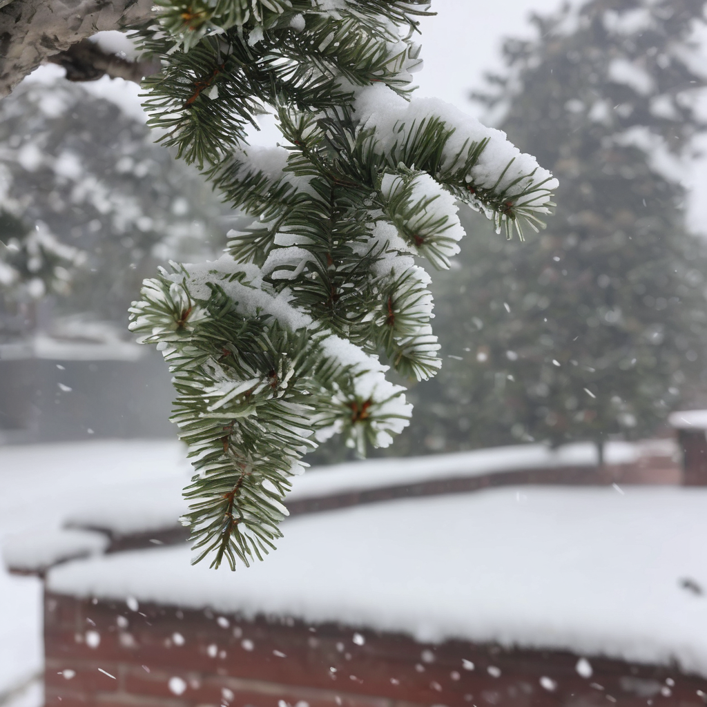
Snow levels in western Washington are set to significantly decrease, reaching around 1,000 to 1,500 feet by Thursday morning, following the arrival of a colder weather system. This change may bring the possibility of lowland snow or a rain-snow mix early Thursday, particularly in higher elevations.
Throughout Wednesday, snow levels are anticipated to drop to around 1,500 feet, dipping even lower to approximately 500 feet overnight into Thursday morning. The forecast indicates that lowland areas could experience a rain-snow mix or wet snow, especially as moisture moves in. However, very little accumulation is expected at sea level, and any snow that does fall is likely to be light and wet.
Motorists should remain alert, as slick spots on roads may develop Thursday morning, particularly east of Interstate 5 and from Snohomish County north. In preparation for the potential impacts of this weather system, KING 5 has issued a First Alert to provide timely updates to keep families safe during this event.
While the lowlands may experience minimal effects, mountain regions are bracing for more substantial snow accumulation. A Winter Storm Warning has been issued, remaining in effect until 4 p.m. Thursday, with forecasts predicting an additional 2 to 4 feet of snow in the Cascades and at least another foot at mountain passes.
As scattered showers persisted in the lowlands Wednesday, the region is expected to continue experiencing wetter-than-average weather for early January. On the coast, a High Surf Advisory is in effect from 10 a.m. Wednesday to 10 a.m. Thursday due to anticipated elevated waves.
On a brighter note, residents can look forward to longer daylight hours as the sun will set past 5 p.m. later this month, with the first 5:01 p.m. sunset occurring on January 26.