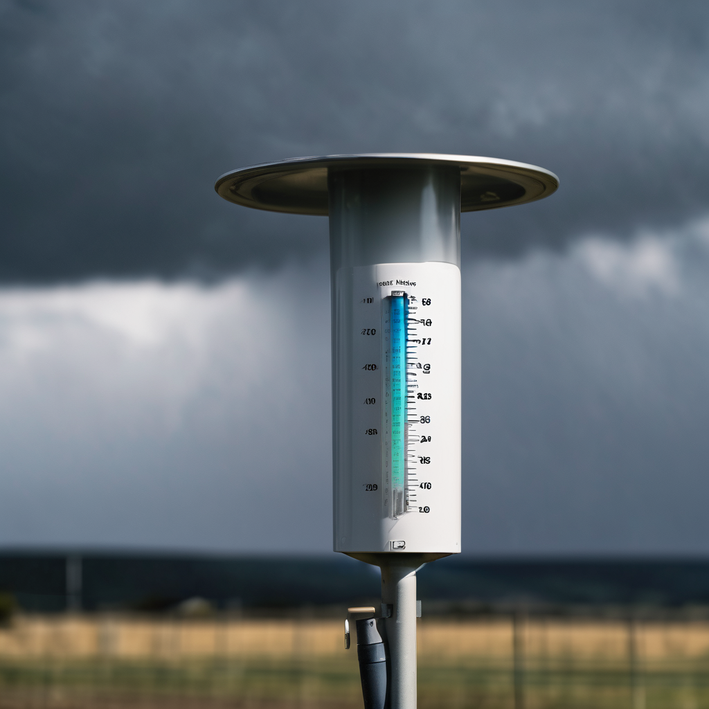
Buffalo, N.Y. — The National Weather Service in Buffalo has issued several warnings and watches as Western New York braces for a significant weather event this weekend. Rain is expected to begin late Sunday morning, continuing through the night and into Monday morning, with projected precipitation amounts ranging from one to one and a half inches. As a result, a Flood Watch has been put into effect for the entire region, with the possibility of an upgrade to a warning if conditions worsen.
The heavy rainfall poses a risk for local streams around Buffalo to reach flood levels by Monday evening. For those planning to attend the Buffalo Bills game on Sunday at 4:25 p.m., it is advisable to dress appropriately for the wet conditions, as temperatures are expected to hover around 40 degrees with light winds and consistent rain.
In addition to the rain, the NWS has also issued a High Wind Watch for multiple counties including Niagara, Orleans, Erie, Genesee, Wyoming, and Chautauqua, effective from late Sunday night until late Monday night. Wind gusts could reach up to 65 mph on Monday afternoon, creating the potential for downed trees and power lines across the area.
As the storm approaches, residents are encouraged to stay informed and prepare for potential disruptions. The rapidly changing weather conditions highlight the importance of staying updated on forecasts, and taking precautionary measures is crucial for safety in the coming days.