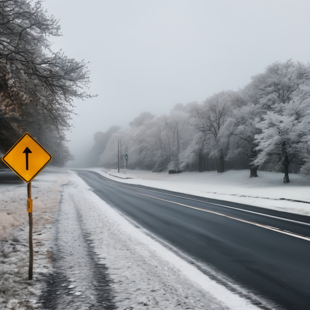
As the weekend concludes, expect a cooler finish with temperatures dipping into the low to mid-20s tonight, following today’s rainfall. Winds from the west will be significant, ranging from 10 to 30 mph, which may result in slick conditions on bridges and untreated roads due to potential late-night snow showers.
Looking ahead to Sunday, a quick chance of snow showers in the early hours will transition to partly sunny skies as colder air settles in. Highs are predicted in the low 30s, and the brisk northwest winds will likely make it feel much colder. If venturing out early, be prepared for lowered visibility due to the fleeting snow.
Sunday night will bring a calmer atmosphere with partly clear conditions. Lows will hover around the mid-20s, providing a quiet night that sets the stage for a gradual warm-up starting Monday.
Monday promises a significant break from the cold, with mostly sunny skies and highs reaching the low 40s, driven by a southwest wind that could gust up to 20 mph. This will mark the beginning of a thaw, leading to melting snow and ice, particularly noticeable in the afternoon where uneven road surfaces may become more apparent.
As we move to Monday night, temperatures will remain mild, with lows in the low 30s. This stability will assist in keeping travel conditions safe, as anything wet is unlikely to freeze back overnight.
Tuesday follows suit with further warming, showcasing highs near 50, as clouds mix with some sunshine. The day will embody the heart of the thaw, making it feel more like late winter rather than early January.
However, clouds will thicken Tuesday night, bringing about a small chance of rain. Lows will be in the mid-30s, and although not everyone may experience rain, wet roads will be a possibility for drivers early Wednesday morning.
As for Wednesday, the forecast turns slightly unsettled, with cooling temperatures as highs drop into the upper 30s to low 40s. A mix of rain and wet snow is a potential hazard later in the day, as a cold front begins to move in.
By Wednesday night, colder air returns, with chances of flurries or brief snow showers, especially on less traveled roads and bridges, leading to potential slick spots.
In the seven-day forecast, expect a blustery end to the weekend with some snow showers, followed by a notable warm-up on Monday and Tuesday, reaching near 50 degrees. While rain chances remain low, a minor system late Tuesday could bring some moisture, driving a colder snap back in by late Wednesday. Drivers should be cautious of the fluctuating conditions as the freeze-thaw cycles may contribute to the development of potholes on already challenged roadways. Therefore, adjusting driving habits and maintaining extra distance when encountering rough patches will be wise. Overall, while fluctuations in weather can be a challenge, they also signal the transition into a more diverse winter season.