Storm chances are diminishing as we head into the night, bringing a calm end to what has been a mostly dry day in southern Wisconsin. Although a stray pop-up storm may occur along and just south of the Wisconsin River, the likelihood of severe weather remains low, with any storms expected to dissipate by evening as drier air moves in.
Sunday promises even milder and quieter weather, with a stalled front to the south creating comfortable conditions. Most places will enjoy dry weather with temperatures reaching the mid to upper 70s, accompanied by lower humidity levels and light breezes. There is only a slight chance of a shower in the far southern areas.
However, as we transition into the workweek, significant changes are on the horizon. A powerful ridge of high pressure will be moving in, ushering warmer air into southern Wisconsin. By Tuesday, temperatures are expected to rise into the upper 80s and low 90s, with humidity levels climbing back into the sticky range of the 60s and 70s. This combination will lead to heat indices potentially soaring to around 100 degrees in the afternoons.
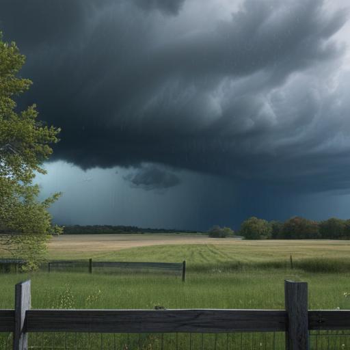
The increase in temperature and moisture is likely to set the stage for storm activity starting Tuesday, with several disturbances anticipated to bring rounds of showers and thunderstorms through late next week. While meteorologists are still fine-tuning the timing and specifics, it appears that the pattern will be quite active, with the possibility of heavy rain and strong winds accompanying some storms.
As we prepare for this upcoming shift in weather, it’s a good reminder to stay updated and make sure you have access to the latest forecasts, as conditions can change quickly.