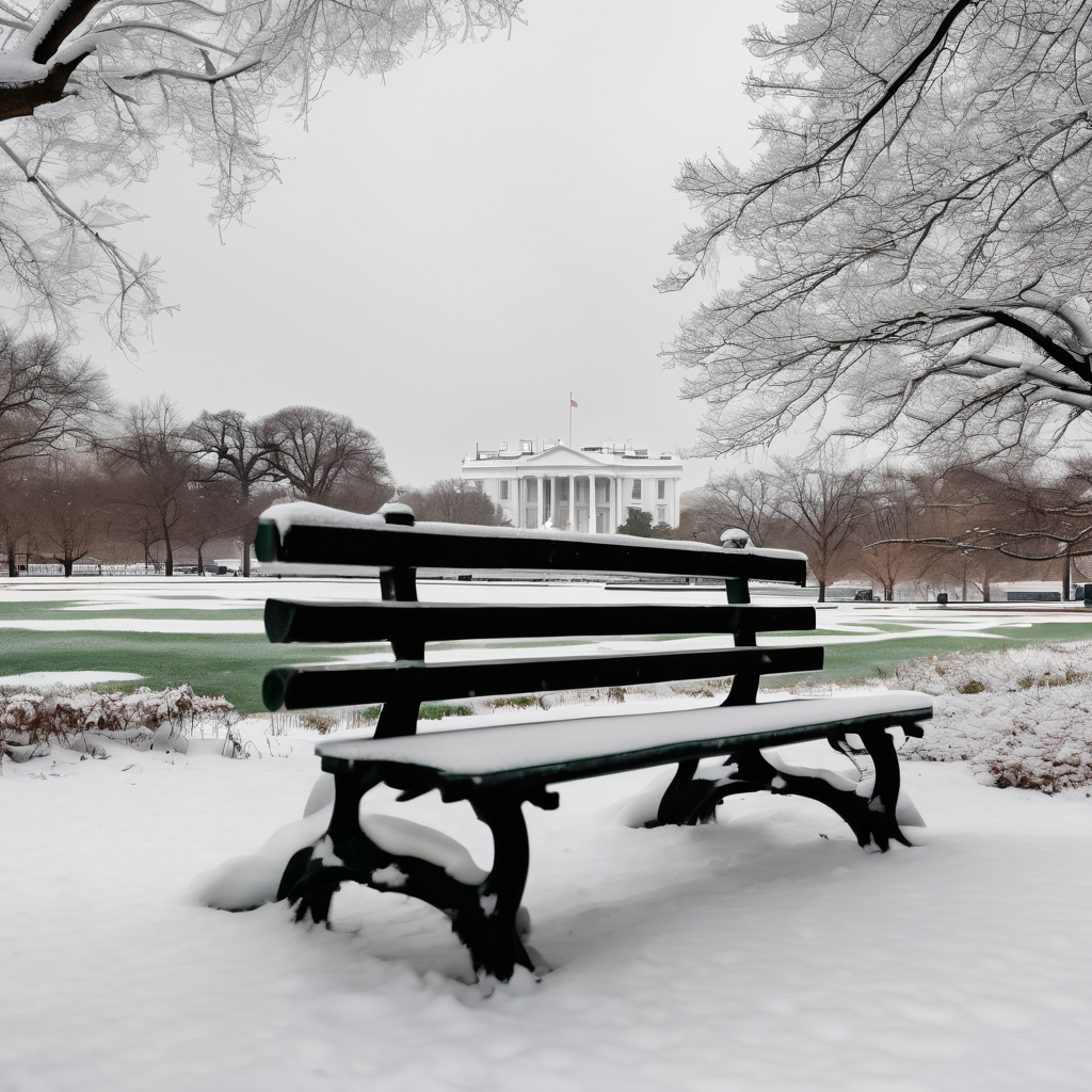
Light snow is expected to move further north and west as we head into the weekend, with a mix of rain and snow likely on Saturday morning.
A meteorological update for the Washington area reveals several points of interest to track over the weekend. Light rain and snow are forecast from Saturday morning until just after noon. As a weak weather disturbance passes through, this mix will primarily affect the region, bringing a minor dusting of snow, especially on grassy surfaces, with the potential for slick roads in areas north and west of D.C. By Saturday afternoon, temperatures are expected to climb into the mid to upper 40s, with a shift towards drier weather, although a stray flake or sprinkle may still occur.
On Sunday, colder air will begin to dominate the region as another storm system approaches. While this storm is expected to pass primarily to the south, it will still bring light snow and flurries, particularly east of I-95 overnight from Saturday into Sunday. Accumulation is anticipated to be slight, generally ranging from a dusting to a half-inch.
As we look ahead to Martin Luther King Jr. Day on Monday, the forecast calls for a clear, sunny day that will be breezy and cold, with daytime temperatures hovering in the 30s. A significant drop in temperature is projected for Monday night into Tuesday, ushering in a blast of extreme cold and producing wind chill values in the single digits. Fortunately, this frigid weather is expected to be of short duration, with temperatures returning to more average levels by Thursday.
As northern and western areas may see an increase in winter precipitation, it’s important to remain mindful of changing conditions while engaging in outdoor activities this weekend.