BURLINGTON, Vt. – The First Alert Weather Day is in effect today through Monday, as snow showers are anticipated, particularly in higher elevations, with instances of heavy snowfall expected at times.
Winter Storm Warnings have been issued for regions of the Adirondacks and northern Green Mountains, remaining active until 7 p.m. on Monday. These areas are forecasted to experience the heaviest snowfall, resulting in significant impacts on travel. Additionally, Winter Weather Advisories are in place for the Green Mountains, the Northeast Kingdom, and northern New York for the same duration, where travel disruptions may occur, albeit not to the extent of those under the winter storm warnings.
Intermittent snow showers will persist through the night, extending into tomorrow. While valley conditions will primarily be dry, sporadic heavy snowfall is likely. Conversely, mountain areas are expected to witness steady snowfall with occasional breaks. Some snow showers may linger into early Tuesday morning as well.
Temperatures are dropping as northwest winds usher in cold arctic air, bringing evening temperatures to the mid-30s in the Champlain Valley and low 30s in the mid-elevations. Overnight lows are projected to dip into the 20s, meaning that any snow that hasn’t yet accumulated will start to stick by Monday morning.
There was a brief episode of minor icing overnight, which resulted in some localized ice accumulation. However, early morning rains helped mitigate hazardous conditions on the roads. With the freezing rain threat passed, attention turns to the accumulating snow.
Heavy bursts of snowfall are forecasted throughout tonight and tomorrow, particularly in mountainous areas. By the end of Monday, the summits of the northern Green Mountains could see snowfall amounts reach up to 18 inches. Mid-slopes are likely to receive around 4 to 8 inches, while the Northeast Kingdom might accumulate 1 to 3 inches, with higher elevations potentially getting up to 6 inches. Valleys are expected to see minimal accumulation, possibly just a coating to an inch, especially close to the lake.
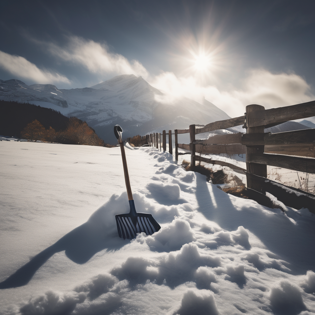
Travel conditions will be treacherous, particularly on untreated roadways, driveways, sidewalks, and outdoor stairs that may become slippery as temperatures drop overnight, causing surfaces to freeze. Drivers should exercise caution as roads wet from rain or snow could become icy, even in valleys where accumulation is minimal. Conditions in the mountains will be hazardous, with snow covering the roads and reducing visibility, compounded by strong winds creating blowing snow.
As the winter season progresses, it’s essential for drivers to prioritize safety by ensuring their vehicles are equipped with winter tires. The snow and wind are forecasted to create challenging driving conditions, particularly through mountainous terrains.
For ongoing updates, residents are encouraged to download the free First Alert Weather App, which provides personalized weather alerts based on location. Stay tuned for updates as this weather system develops across the area.