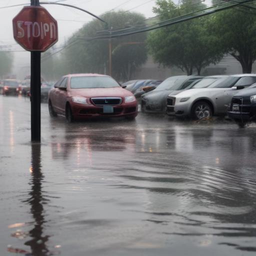
The National Weather Service has reported a staggering 5 to 10 inches (125 to 250mm) of rainfall within a mere three to six hours across south-central Kerr County, leading to nearly 21 inches of rain in certain areas between Thursday and Monday. This amount is significant, especially considering the average July rainfall for the Kerrville area over the last 25 years has been just over two inches. This indicates that the recent deluge brought the equivalent of about four months’ worth of rain in just a few hours.
The severe weather system struck at a time when many residents were asleep, caught off guard by the catastrophic nature of the storm that developed rapidly in the night. A flood watch was initially issued on Thursday afternoon, but it escalated to a flood warning after midnight, prompting authorities to urge residents to seek higher ground. Shortly thereafter, alerts were updated to a flash flood warning, with many residents receiving emergency text notifications during the early hours.
Remarkably, at 3:30 a.m., Kerrville City Manager Dalton Rice noted that he was jogging near the river, experiencing only light rain at that time. However, just thirty minutes later, conditions worsened dramatically, leading to an emergency flash flood warning that indicated a “particularly dangerous situation” as major floods were already underway. Notably, Camp Mystic was identified as one of the areas with some of the highest rainfall levels during these critical hours.
This extreme weather event underscores the importance of timely weather alerts and preparedness, highlighting how quickly conditions can deteriorate and the vital need for communities to stay informed during severe weather situations. Though the rainfall was devastating, it can also pave the way for initiatives aimed at improving infrastructure and community resilience to better handle future storms.
