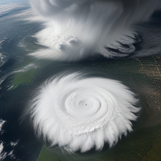
NOAA’s GOES West satellite has recently provided stunning imagery of a significant mid-latitude cyclone and an associated atmospheric river that affected northern California, the Pacific Northwest, and British Columbia between November 19-20, 2024. This weather event has resulted in severe winds, substantial rainfall, and mountain snowfall, raising concerns about flash floods, mudslides, and other hazards in the affected areas.
The satellite imagery vividly depicted a powerful low-pressure system approximately 300 miles off the Washington coast, which was drawing in moisture-laden air from the Pacific. This exceptional weather combination has led to hurricane-force winds, leaving at least two people dead, displacing hundreds of thousands due to power outages, causing widespread tree damage, and even resulting in blizzard conditions in the Cascades. Dubbed a “bomb cyclone,” this intense storm is characterized by a significant drop in central pressure over a short duration, effectively intensifying the storm’s impact.
GOES West (GOES-18), launched in March 2018 and fully operational since February 2019, plays a crucial role in providing continuous satellite coverage of the Western Hemisphere, monitoring weather systems across the United States, the Pacific Ocean, Alaska, and Hawaii.
As communities work through the aftermath of this powerful storm, there is hope for resilience and recovery. Local agencies and volunteers are already mobilizing support for those affected by the storm, highlighting the strength and unity of these communities during challenging times. With the aid of advanced satellite technology, authorities are better equipped to understand and respond to such extreme weather events, paving the way for improved safety measures in the future.
