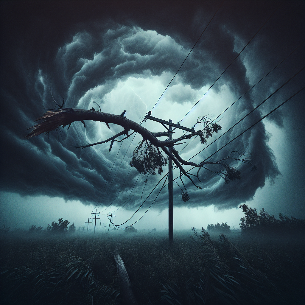
Summer in the Midwest brings various weather events, but few are as destructive as the phenomenon known as a “derecho.”
These straight-line winds can cause considerable damage, demolishing buildings, flattening farm fields, and leaving thousands without power.
The National Weather Service (NWS) describes a derecho as a widespread, long-lasting wind storm linked to fast-moving showers and thunderstorms.
A derecho can create wind speeds similar to those in tornadoes but does so in a single direction along a “straight swath,” according to the NWS.
To qualify as a “derecho,” the wind damage swath must extend more than 240 miles and feature wind gusts of at least 58 miles per hour along its length.
NWS data indicates that derechos are most frequent between May and July, accounting for nearly two-thirds of these events historically.
Derechos develop from a “bow echo.” Early in their formation, thunderstorms encounter “updrafts” as warm surface air rises until condensation occurs, transitioning to rain.
This process forces cool air towards the ground at the back end of a storm, generating strong winds near the ground, according to researchers at South Dakota State University.
As the storm line strengthens, updrafts continue along the edge, and the rain-cooled air at the surface expands the storm horizontally, pushing it forward more quickly and increasing wind speeds. In certain cases, these winds persist for hundreds of miles and are classified as derechos.
Illinois averages one derecho annually, with slightly higher rates in an area covering parts of Kansas, Missouri, Oklahoma, and Arkansas, according to the NWS.
It remains unclear whether Monday’s severe weather in the Chicago area was a derecho, but the National Weather Service will release findings in the coming days.