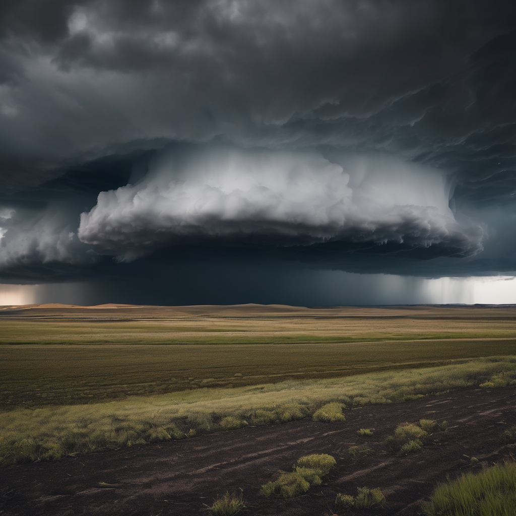
LINCOLN, Neb. – Central and Eastern Nebraska, along with Northern Kansas, brace for two rounds of thunderstorms over the coming days. The first batch is set to arrive tonight and extend into early Friday morning, potentially bringing isolated severe thunderstorms, particularly in Eastern Nebraska and Northeastern Kansas, where large hail is expected to be the primary threat along with strong winds.
Following this initial round, the second round of storms is anticipated late Friday afternoon into the evening, affecting South Central and Eastern Nebraska as well as parts of Northern Kansas. Forecasts indicate a heightened risk of severe weather during this time, with large hail and damaging winds again being major concerns, alongside the possibility of isolated tornadoes.
Fog and drizzle may also linger in the morning hours, leading to a Dense Fog Advisory currently in effect for much of Central and Eastern Nebraska and Northern Kansas until 11 a.m., with visibility potentially dropping to a quarter-mile or less. As the fog dissipates, the afternoon is expected to clear up, transitioning to mostly sunny to partly cloudy conditions with temperatures reaching the low 60s to low 70s. Winds will be brisk, blowing from the southeast at 10 to 20 mph, with gusts potentially reaching up to 30 mph.
As a cold front moves through on Friday, it will bring windy conditions with winds shifting from south to northwest at speeds of 20 to 30 mph and gusts of up to 40 mph. While low temperatures will range from the mid-20s to low 50s, highs will vary significantly—ranging from the mid-30s to low 70s across different parts of the region.
Looking ahead to the weekend, the forecast calls for mostly sunny and dry weather, with Saturday being cooler compared to Sunday. Monday is expected to be the warmest day of the week, marking a pleasant start to the week before a cooling trend begins on Tuesday with the approach of another cold front. This weather pattern may also bring a slight chance of rain on Tuesday and Wednesday.
Stay informed and prepared as the weather evolves in the days ahead.