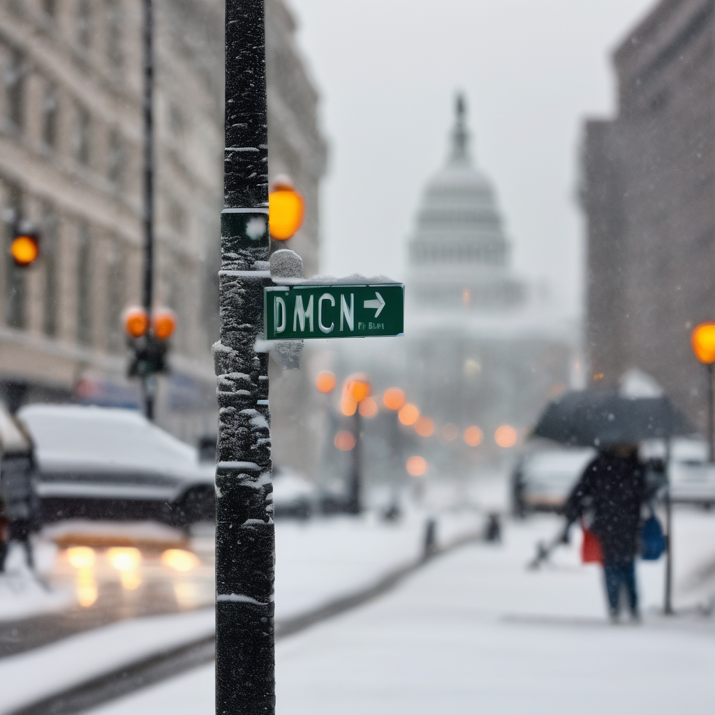
The National Weather Service (NWS) has unveiled its latest snowfall forecasts for an impending storm expected to hit Washington, DC on Tuesday morning. The predicted snowfall totals vary widely, with some locations experiencing just a trace while others could see up to three inches.
In the immediate Washington metro area, which includes key regions such as Montgomery County and Prince George’s County, forecasts indicate snowfall of between a half inch to two inches in areas like Damascus. As one moves farther northwest, snowfall amounts are expected to increase, with Frederick, Westminster, and Hagerstown poised to receive between one to three inches, especially near the Maryland-Pennsylvania border where the highest accumulation is anticipated.
The NWS has provided two maps to illustrate potential snow amounts: the “High End Amount” map reflects a scenario with a one-in-ten chance of higher snowfall. Under this projection, parts of Carroll County and Frederick County might see totals of four to five inches, while most of Montgomery County may gather closer to one to two inches. Conversely, the “Low End Amount” map suggests that many areas might see no snow at all.
Additionally, the NWS shared a probability map indicating the likelihood of receiving at least one inch of snow. Frederick and Carroll counties fall within a 39 to 51 percent chance range, while Montgomery County’s probabilities vary between 21 to around 50 percent, particularly in the Damascus area. The immediate DC area, including Arlington, Alexandria, and Prince George’s County, has a 10 to 20 percent chance of hitting that inch mark, whereas southern Maryland and Annapolis are predicted to have less than a 10 percent chance.
Overall, the projected snowfall looks modest for most of the DC region, with the highest chances for measurable snow concentrated in areas northwest of the Beltway. FOX5 meteorologist Mike Thomas suggests this storm could usher in the first winter-related school delays and closures of the year in certain locations.
It is vital to note that not all of the snow that falls is guaranteed to stick, as transitioning to rain is a possibility. If the winter precipitation lingers, there may be significant effects on Tuesday morning’s commute. The NWS will continue to monitor the situation and will provide updates, including their first predictions of the season either tonight or tomorrow.
