Tropical Storm Erin formed Monday in the eastern Atlantic just west of the Cabo Verde islands and was expected to strengthen later this week, forecasters said. Early guidance shows the system could become the Atlantic basin’s first hurricane of the season before it nears the Caribbean by the end of the week, though its longer-term track remains uncertain.
Details and current status
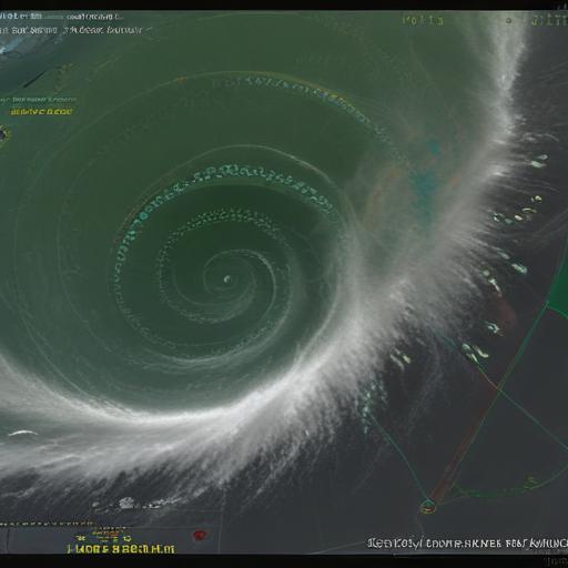
– As of Tuesday morning the storm’s center was about 1,890 miles east of the northern Leeward Islands with maximum sustained winds near 45 mph and a general westward motion.
– Drone footage and local reports showed flooding and damage in parts of Cabo Verde; officials there declared a state of emergency.
– Most model runs keep Erin moving west initially but show a likely pivot to the northwest and then north later this week, which would reduce the immediate threat to the U.S. mainland. Forecasters note that the situation could change as the storm evolves.
Context and seasonal outlook
– Erin is the fifth named storm of the Atlantic season, which began in June and runs through November, with the climatological peak in August–October.
– Earlier storms this season include Chantal, which made landfall on the U.S. Carolina coast and caused deadly flooding, and Dexter, which stayed over open water.
– NOAA has predicted an above-normal Atlantic season, projecting 13–18 named storms with 5–9 becoming hurricanes.
– For reference: a tropical cyclone is classified as a tropical storm at 39 mph sustained winds, a hurricane at 74 mph, and a major hurricane at Category 3 strength (111 mph sustained winds) or higher.
Why this matters and what to watch for
– Systems forming near the Cabo Verde islands (so-called “Cape Verde-type” storms) can strengthen significantly over warm open water if wind shear is low and atmospheric conditions are favorable, giving them potential to become major hurricanes if they remain over favorable waters.
– There is currently no immediate threat to the U.S., but the projected timing coincides with the start of the school year in parts of South Florida; local school districts and emergency managers will be monitoring Erin’s progress closely.
Practical advice
– Residents in the Caribbean, Bermuda, and the U.S. east and southeast coasts should monitor official updates from the National Hurricane Center and local emergency management agencies.
– Check emergency supplies (water, medications, flashlight, batteries), review evacuation plans if you live in flood- or storm-prone areas, and stay prepared to change plans if the forecast track shifts.
Short summary
Tropical Storm Erin formed near the Cabo Verde islands and is expected to strengthen this week; models suggest it could reach hurricane strength before approaching the Caribbean, though many runs show it turning north afterward. It poses no immediate threat to the U.S., but its evolution will be closely monitored.
Hopeful note
Early detection and continuous monitoring give communities and emergency managers time to prepare. If Erin follows guidance that turns it northward, the risk to the U.S. mainland may be limited — but continued vigilance is warranted.
Additional comment
Forecast uncertainty is still significant this early in Erin’s life cycle. The storm’s eventual intensity and track will depend on ocean temperatures, mid- and upper-level winds (wind shear), and interaction with surrounding weather systems. Expect frequent updates from the National Hurricane Center as new data and model runs become available.