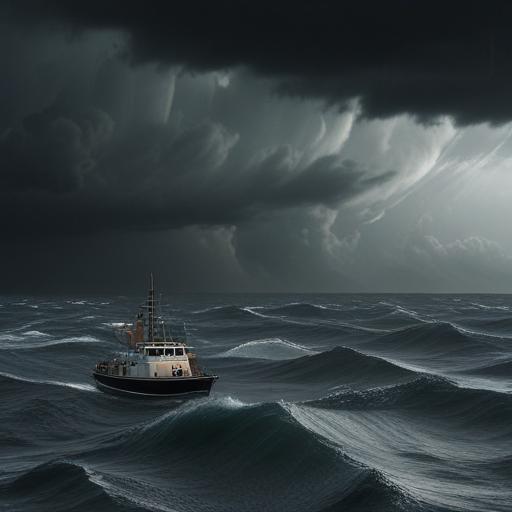
Tropical Storm Dalila has developed in the eastern Pacific Ocean near the southwestern coast of Mexico, according to forecasters. As of Friday, the storm is located approximately 195 miles (315 kilometers) south of Zihuatanejo in Guerrero state, featuring maximum sustained winds of 40 mph (65 kph). The National Hurricane Center in Miami has indicated that Dalila could bring as much as 6 inches (15 centimeters) of rain to parts of the Guerrero, Michoacán, and Colima states on Saturday.
A tropical storm warning is now in effect for certain areas of coastal Mexico west of Mexico City. While Dalila is anticipated to move parallel to the coast, forecasters believe it will predominantly stay offshore. It’s important to note that naming a storm occurs when its sustained winds reach 39 mph, while it qualifies as a Category 1 hurricane at 74 mph.
Meteorologist Jason Dunion from the National Oceanic and Atmospheric Administration highlights that warm ocean waters, specifically those with temperatures of 80 degrees Fahrenheit or higher, are essential for storm development. This year’s Atlantic hurricane season, which experts have predicted could see an above-average number of storms, has started quietly, with no tropical storms formed since its opening on June 1. In contrast, the eastern Pacific hurricane season, which began on May 15, is off to a bustling start with three storms already recorded: Alvin, Barbara, and Cosme. Both hurricane seasons will continue through November 30.
This busy start to the eastern Pacific storm season serves as a reminder of the importance of preparedness and awareness as the weather continues to evolve.
