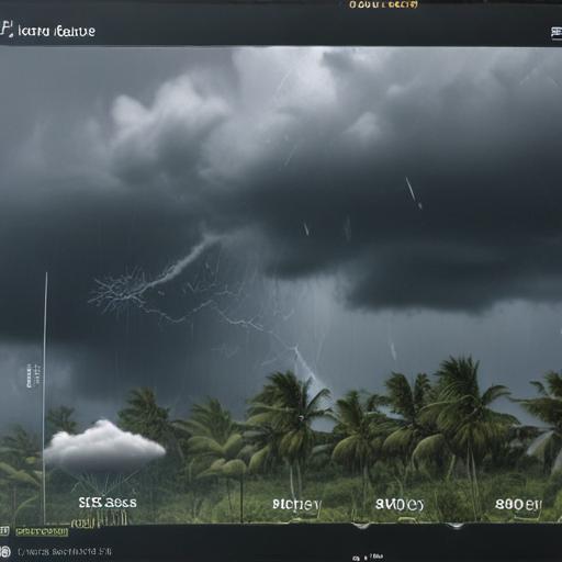
A tropical depression has developed off the Southeast U.S. coast as of July 4, according to the National Hurricane Center. A tropical storm watch has been issued for areas along the South Carolina coastline ahead of what is anticipated to be the formation of Tropical Storm Chantal, marking it as the third named storm of the 2025 Atlantic hurricane season during this holiday weekend.
At 5 p.m. ET on July 4, the center of Tropical Depression Three was situated approximately 150 miles south-southeast of Charleston, South Carolina, moving northward at a slow pace of 2 mph, with maximum sustained winds of 35 mph—just shy of the threshold needed to be classified as Chantal. As part of the ongoing monitoring efforts, an Air Force Reserve Hurricane Hunter is on route to assess the storm, providing more detailed information on its structure.
Regardless of its evolution into a named storm, forecasts indicate that stormy weather will reach areas stretching from Florida to southeast Georgia and the coastal Carolinas. The National Weather Service in Jacksonville, Florida, has cautioned drivers of potential hazards from slick roads and heavy downpours, with urban and low-lying areas facing a risk of flooding.
Meteorologist Ryan Maue has noted that it is likely the system off the Southeast coast will have sufficient circulation to qualify as a tropical depression, given the naming precedents established in previous seasons. The primary concern from this developing system remains heavy rainfall, which may bring periods of significant precipitation to coastal regions of Georgia, North and South Carolina throughout the weekend.
Forecasts suggest that, regardless of further developments, the system will accelerate and move away from the U.S. by Tuesday and Wednesday, enhancing the hope that the Atlantic will remain relatively calm for the following week.
If Tropical Storm Chantal forms, it would be the third named storm this season, joining previous storms Andrea and Barry. Preseason forecasts implied a heightened level of activity for the Atlantic hurricane season, with estimates highlighting the possibility of up to 19 named storms, driven by various atmospheric conditions such as warmer ocean temperatures and conducive wind patterns. This potential for an active season stands significantly above the average of 14 named storms based on historical weather records from 1991 to 2020.
The developing situation serves as a reminder of the significance of preparedness when facing changing weather patterns, and residents in affected areas should stay informed and ready for any potential impacts from the storm.
