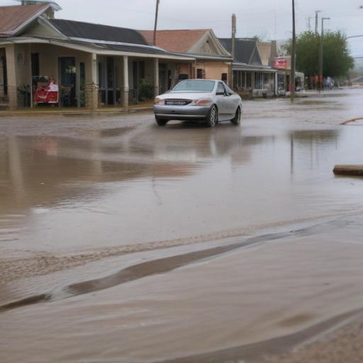
Heavy rainfall over the weekend resulted in the flooding of the Guadalupe River in Texas, contributing significantly to the catastrophic flooding across the state that has tragically claimed over 80 lives, including two dozen children who were attending Camp Mystic.
The Guadalupe River, a vital waterway stretching approximately 250 miles from its North and South Forks in Kerr County to the Gulf of Mexico, serves as a major river system and is the fourth-largest river basin entirely within Texas. It traverses through Central and south-central Texas, influencing local ecology and communities.
On Friday morning, state officials reported a staggering rise in the river’s water levels, which increased by 26 feet in just 45 minutes. This rapid rise is indicative of the severity of the storm; the U.S. Geological Survey documented the river’s discharge hitting a peak of 111,000 cubic feet per second later that day, marking this flood as one of the most severe in recent history.
The region known as “Flash Flood Alley,” where the Guadalupe River is situated, is notoriously susceptible to extreme flooding. This area, which spans approximately 300 miles long and 50 miles wide, encompasses central and south-central Texas. It is characterized by a convergence of weather patterns that lead to intense rainstorms, combined with geological conditions that exacerbate flooding risks. The limestone soil found in this area does not adequately absorb rainwater, causing it to rapidly flow into valleys, while the steep terrain created by the Balcones Escarpment further complicates the situation.
As Texas faces the aftermath of these devastating floods, recovery efforts will be crucial in supporting affected communities and rebuilding lives. The historical context of this region’s vulnerability to flash floods serves as a reminder of the ongoing need for infrastructure improvements and enhanced emergency preparedness measures to mitigate future disasters.
