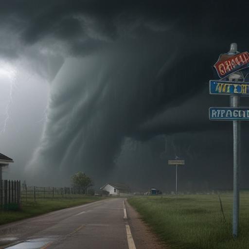
Dark clouds loomed over the city near 8th and Master Streets on Monday, foreshadowing severe weather as the National Weather Service issued tornado warnings for Philadelphia and several nearby counties in Pennsylvania. These warnings were prompted by potent thunderstorms that rolled into the region during peak commuting hours on Tuesday afternoon.
Severe storm and flood watches remained active as radar indicated potential tornado activity, particularly over King of Prussia and Plymouth Meeting. Over 12,000 customers in the area experienced power outages due to the storm’s intensity.
Chester County, already dealing with up to 4 inches of rainfall from previous storms, faced additional flood warnings as conditions deteriorated. The NOAA’s Storm Prediction Center extended a severe thunderstorm watch across much of eastern Pennsylvania and all of New Jersey, anticipating dangerous conditions until 9 p.m. Tuesday night.
Winds were predicted to gust as high as 70 mph, prompting storm warnings for parts of Chester and Montgomery Counties. Weather patterns suggest a persistent storm front that may trouble the region throughout the week.
The storms delivered significant rainfall in places like Oxford and Parkesburg in southwestern Chester County, leading to road closures and at least one water rescue. Despite some areas receiving heavy downpours, Philadelphia International Airport recorded only a minimal 0.01 inches of rain. As meteorologist Bob Larson from AccuWeather noted, the moisture in the atmosphere continues to linger, contributing to a complex weather situation.
It is important for residents to stay informed and prepared as these unpredictable storms continue to impact the region.