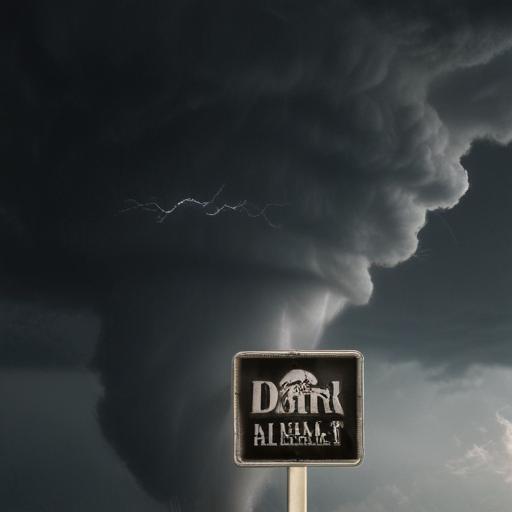
The National Weather Service (NWS) is set to evaluate at least ten locations across central Wisconsin following radar indications of possible tornadic activity on July 16. At least two tornadoes are suspected to have touched down in Sauk and Dodge counties, prompting severe weather warnings across the region.
Initially, a tornado watch was issued for the Milwaukee area and lasted until 7 p.m. This watch encompassed over 30 counties, including Dane, Ozaukee, Waukesha, Kenosha, and Racine, with the range extending north to Green Bay.
Central Wisconsin faced more urgent weather threats as some areas were under tornado warnings. For example, western Fond du Lac County and southeastern Dodge County remained under warning until 4 p.m. due to a confirmed tornado sighting just three miles south of Waupun. Additionally, north central Columbia County and Marquette County were under a tornado warning until 3:45 p.m., while parts of Columbia, Sauk, and Fond du Lac counties experienced warnings until 3:30 p.m. due to severe thunderstorms capable of spawning tornadoes.
Earlier in the day, the first confirmed tornado touched down around 1:12 p.m. near Mazomanie in Dane County, adjacent to Sauk City. While that storm has weakened, additional tornado warnings were issued for Dane, Rock, Green, and Jefferson counties, though the Dane County warning was lifted by 2:30 p.m.
While the storms didn’t significantly impact the Milwaukee area, they did result in some event cancellations, such as the Waukesha County Fair’s truck and tractor pulls and the Milwaukee Night Market festivities.
It is important to note that a tornado watch indicates the potential for tornadoes to form rather than confirming their presence. The NWS encourages residents to have safety plans ready should a tornado arise. With continuing forecasts of heavy rain and thunderstorms in the Milwaukee area, it’s vital for residents to stay informed and prepared.
For safety guidance, the NWS recommends finding a low shelter during a tornado, staying away from windows, and if driving, seeking shelter in a sturdy building instead of attempting to outrun a tornado. If no shelter is accessible, lie flat in a low-lying area and cover your head.
The NWS will provide updates and official assessments in the coming days as investigations into these potential tornado activities unfold.
This situation underscores the importance of preparedness in severe weather events, creating an opportunity for communities to strengthen their emergency response plans and ensure safety.