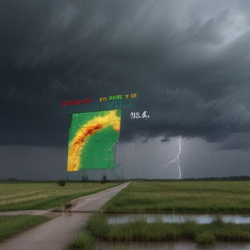
Central Texas is now facing a brief period of low flood threat as scattered shower chances persist, particularly in the Texas Hill Country, which recently experienced significant flooding during the holiday weekend. The Weather Prediction Center has issued a 1/4 risk classification for isolated flooding through tonight. While many rivers have returned to near pre-flood levels, additional heavy rainfall could lead to rising levels once again.
In the greater Houston area, summer storms are beginning to ease, but scattered downpours are expected to resume tomorrow. Although widespread flooding is unlikely, isolated street flooding may occur, so residents are advised to exercise caution and avoid flooded roadways. Late in the week, rain coverage will taper off after Friday, though scattered storms are anticipated to return over the weekend.
In terms of the tropics, the situation remains calm. The presence of Saharan Dust is currently keeping the Atlantic, Caribbean, and Gulf regions quiet, with no immediate threats projected for Texas in the coming days. Continuous updates regarding tropical conditions will be provided through local weather broadcasts.
Overall, while caution is warranted due to potential isolated flooding, the respite from severe tropical threats brings a sigh of relief to residents as they prepare for the upcoming weekend.