A weekend storm is expected to sweep through southeastern Wisconsin, following a pleasant Friday. While today offers sunny skies and comfortable temperatures in the mid-70s, a change is on the horizon as scattered showers and thunderstorms are projected to move into the region tonight and persist into early Saturday morning.
Earlier this week, the area experienced significant weather activity, including 16 tornado warnings, four of which were confirmed. The tornadoes occurred in several counties, but Dodge County notably has a history of more tornadoes than any other county in southeastern Wisconsin, with the recent tornadoes classified as EF0, producing wind gusts between 65 and 70 miles per hour.
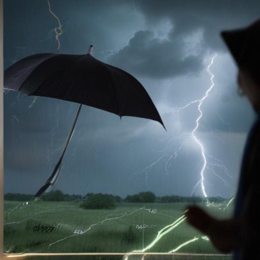
For tonight, as high-pressure systems shift away, an incoming low-pressure system is predicted to bring increased storm chances. Rain may begin overnight, although there will still be periods of dry weather, making it advisable not to cancel any weekend plans outright. Meteorologists anticipate the possibility of damaging winds and heavy rain, particularly near the state line, though tornado chances are not a concern for this system.
Forecast models suggest that the most intense weather will likely occur early Saturday morning, with conditions expected to improve later in the day. Attendees of outdoor events during this timeframe are encouraged to stay informed about the forecast and adjust plans accordingly.
It’s important to remain vigilant as weather conditions can change rapidly. Based on expert analyses and the Storm Prediction Center’s classification of a slight risk rating for the region, it is best to keep an eye on updates throughout the weekend to ensure safety amidst the potential storm activity.