LINCOLN, Neb. – After experiencing a dangerous heat wave over the past few days, residents in Nebraska can now prepare for a shift in weather patterns, as the potential for severe storms looms ahead. The state will remain under a Weather Alert Day through Monday due to predicted severe weather, particularly in the southeastern region.
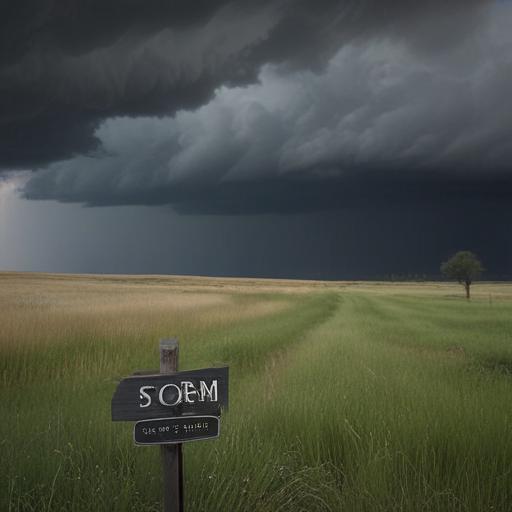
The National Weather Service is forecasting scattered thunderstorms and occasional rain beginning Monday afternoon and continuing into the evening. Storms are also expected to persist into Tuesday, with the possibility of isolated severe activity. The primary threats from these storms include damaging winds, isolated large hail, and even the potential for a tornado.
The concern for flash flooding is heightened, especially in eastern Nebraska, where rainfall totals could reach between 2 to 4 inches by Thursday. This level of precipitation has the potential to lead to localized flood issues.
On a more positive note, the high temperatures for Monday are expected to be more comfortable compared to the last few days, ranging from the mid-70s to the upper 80s, contributing to a break from the extreme heat. The weather will feature mostly cloudy skies with rain and thunderstorms persisting into the night and early Tuesday morning.
As the week progresses, temperatures are anticipated to rise again, particularly by Friday and Saturday, as drier and hotter conditions return with highs climbing into the 90s.
Forecasters advise residents to stay vigilant and be prepared for possible severe weather as conditions evolve.