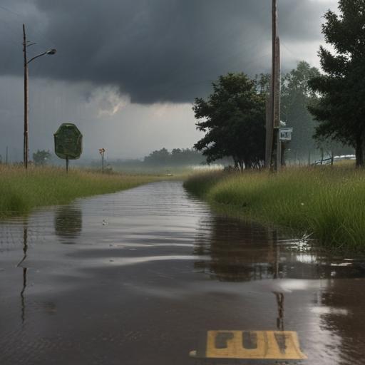
Today marks a slight reprieve from storm activity in the region, with a few scattered showers expected in the southeastern part of the state, particularly around Lea and Eddy counties. This afternoon, heavier and steadier rains are anticipated, especially to the south and just east of the central mountain chain. Flood watches remain in effect until 9:00 PM for the Sacramento Mountains, including Ruidoso and Alamogordo, and until midnight for areas in Eddy and Lea counties. Residents are advised to stay vigilant concerning rising water levels, which could pose dangers.
While the forecast suggests reduced rainfall in northern burn scar areas like Hermits Peak and Calf Canyon, the Ruidoso area may experience bursts of heavy thunderstorms. Conditions this morning are relatively calm, with humidity levels high due to earlier rains and temperatures hovering in the upper 50s to lower 60s across the region. Cooler temperatures can be found in places like Taos, Raton, and Santa Fe.
The forecast shows a mix of weather leading into the afternoon, with heavier showers likely between 4:00 PM and 8:00 PM. The possibility of gusty winds and small hail is not ruled out, particularly affecting the Ruidoso burn scar. However, by midnight, the weather is expected to calm significantly.
Looking ahead, the weekend promises to be dry, with temperatures rising into the lower 80s for a few days before a new wave of moisture arrives mid-next week. This shift may bring some moderate rainfall, but it will also be accompanied by comfortable temperatures as the region transitions into a warm weekend.
In summary, while today’s storm chances have somewhat abated, areas need to remain cautious about potential flooding, particularly in burn scar zones. Fortunately, the upcoming weekend appears favorable with a dry outlook, creating opportunities for outdoor activities.