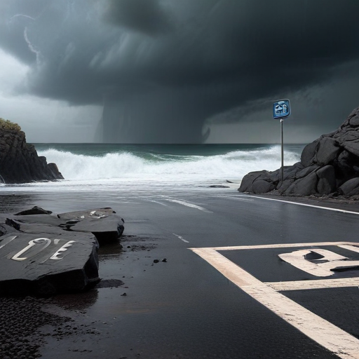
Northern California and the Pacific Northwest are preparing for a significant storm anticipated to bring heavy rain and strong winds, posing risks of power outages and flash flooding. The Weather Prediction Center has issued excessive rainfall warnings starting Tuesday and continuing through Friday due to an intense atmospheric river—a long plume of moisture sweeping across the Pacific Ocean—that is hitting these areas.
This storm has escalated rapidly, gaining the classification of a “bomb cyclone,” according to Richard Bann, a meteorologist at the National Weather Service Weather Prediction Center. The heaviest rainfall is expected across a corridor extending from just south of Portland, Oregon, to the northern San Francisco area.
Forecasters expect northern California to experience the worst conditions, with flood and high wind alerts taking effect Tuesday. Some regions may receive up to 8 inches of rainfall, particularly in the San Francisco Bay Area, North Coast, and Sacramento Valley. Additionally, a winter storm watch is in place for the northern Sierra Nevada, where snow accumulation could reach 15 inches at elevations above 3,500 feet, with wind gusts exceeding 75 mph in mountainous areas.
The Weather Prediction Center has cautioned that this storm could lead to numerous flash floods, hazardous travel conditions, power outages, and tree damage, particularly as it reaches its peak intensity on Wednesday.
In contrast, Southern California is expected to remain dry this week, although gusty Santa Ana winds could exacerbate wildfire risks in regions still recovering from a major blaze that recently destroyed 240 structures. Fortunately, the Mountain Fire, which broke out in Ventura County on November 6, is now nearly fully contained.
Southwestern Oregon is forecasted to receive between 4 to 7 inches of rain, with localized areas potentially exceeding 10 inches through late Thursday into early Friday. A high wind warning for the north and central Oregon coast is also in effect, predicting winds of up to 60 mph, which could lead to widespread power outages and difficult travel conditions.
Washington State is likely to face hefty rainfall, particularly in coastal areas, although not as severely as its southern neighbors. Coastal regions could experience gusts over 35 mph, prompting officials to warn of downed trees and power lines.
As a response to the impending weather, Washington State Patrol urges residents to stay off the roads if possible. A blizzard warning has also been issued for the Cascades, particularly around Mount Rainier, effective Tuesday afternoon.
The weather patterns are also impacting other regions, with the central and eastern Gulf Coast, including the Florida Panhandle, facing flooding risks as well, with anticipated rainfall of 2 to 3 inches.
While severe weather poses challenges, communities across the affected regions can prepare and adapt to ensure safety. Residents are reminded to stay informed about the evolving conditions and prioritize safety in travel plans.
With proactive measures and community cooperation, there is hope that the harsh impacts of this storm can be mitigated, showcasing the strength and resilience of the affected communities.
