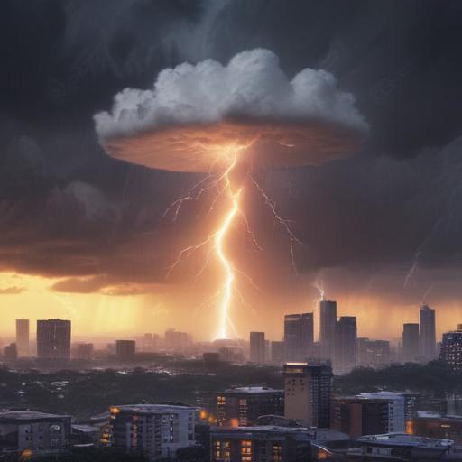
Severe storm alerts remain in effect as a powerful heat wave continues to impact millions in the Eastern United States. More than 60 million people are on notice for dangerously high temperatures, even as some cities begin to see relief.
Recent severe storms have already wreaked havoc in the Midwest and Southeast, causing multiple tornadoes and significant damage. On Wednesday evening, reports confirmed ten tornadoes in southern Minnesota, with an additional tornado in Wisconsin. In Florida’s Largo community, the strong winds lifted a 76-year-old woman’s home but, fortunately, she sustained no serious injuries.
Largo officials report that the storms damaged over 40 homes in the area. As the situation develops, residents in Iowa, Minnesota, and Wisconsin may experience more severe storms, though the anticipated conditions are expected to be less extensive than those reported the previous day. Wind and lightning pose additional threats as storms move from the Heartland toward the East Coast.
Looking ahead, the Upper Midwest will face a new wave of severe weather on Friday, particularly from northern Nebraska to South Dakota, North Dakota, and Minnesota. This new front could produce large hail, damaging winds, and localized flash flooding, with some tornado risks as well.
On the temperature front, record-breaking heat continues, with areas along the East Coast experiencing extreme highs. New York’s John F. Kennedy International Airport recorded 102 degrees for a second consecutive day. While temperatures remain high, the peak of this intense heat wave is now behind us. The heat index is forecasted to reach uncomfortable levels in several cities, including 105 degrees in Washington, D.C., and 106 degrees in Charleston, West Virginia, while temperatures across New York City and Boston are beginning to cool.
The arrival of scattered thunderstorms and a weakening high-pressure area will help alleviate some of the extreme heat as the weekend approaches. While warmer temperatures will return next week, it is expected that they will not reach the same levels as this week’s scorching conditions.
This ongoing weather pattern underscores the unpredictable nature of summer storms and the importance of remaining vigilant. As communities recover from the recent severe weather, there is hope for improved conditions in the days to come.
