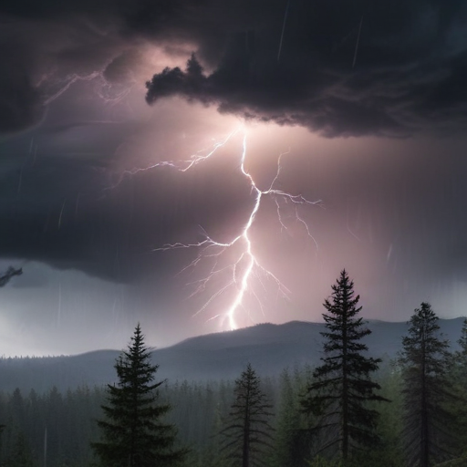
The Pacific Northwest and Northern California are preparing for an impending powerful storm, bringing heavy rain and intense winds that may lead to power outages and flash floods. The Weather Prediction Center has issued warnings for excessive rainfall, effective from Tuesday through Friday, as an atmospheric river — defined as long streams of moisture from the Pacific Ocean — approaches the region. This storm system has rapidly intensified into what is termed a “bomb cyclone,” according to meteorologist Richard Bann.
The areas expected to experience severe rainfall will range from south of Portland, Oregon, to the northern San Francisco region. Bann has advised residents to be conscious of flash flood risks in lower elevations and potential winter storms in higher elevations, stating, “This is going to be an impactful event.”
Beginning Tuesday, northern California will be under flood and high wind watches, with forecasts predicting up to 8 inches of rain in parts of the San Francisco Bay Area, North Coast, and Sacramento Valley. Additionally, a winter storm watch has been issued for the northern Sierra Nevada above 3,500 feet, where approximately 15 inches of snowfall could fall within two days. Wind gusts are anticipated to exceed 75 mph in mountainous zones, raising concerns for flash floods, hazardous travel conditions, power outages, and tree damage as the storm reaches its peak intensity on Wednesday.
In stark contrast, Southern California will experience dry conditions accompanied by gusty Santa Ana winds, raising wildfire concerns as fire crews continue to manage a substantial blaze in Ventura County, which has been nearly contained. By the end of the week, rain may return to the greater Los Angeles area.
For southwestern Oregon near the coast, forecasts indicate 4 to 7 inches of rain, with localized amounts reaching as high as 10 inches through late Thursday night. A high wind warning has been issued for the north and central Oregon coast, forecasting south winds of 25 to 40 mph, with gusts potentially surging to 60 mph. Power outages are projected as strong winds may down trees and power lines, making travel hazardous.
Washington is also preparing for significant rainfall, although it is expected to be less severe than Oregon and California. Coastal regions could experience up to 1.5 inches of rain, along with high wind warnings for parts of Pacific County, where gusts may exceed 35 mph. The Washington State Patrol has urged residents to be ready for poor weather conditions and to avoid travel if possible.
Additionally, a blizzard warning has been issued for much of the Cascades in Washington, with anticipated snow accumulations up to a foot and wind gusts reaching 60 mph. Travel could become very challenging across mountain passes. Outside of this storm-affected region, the central and eastern Gulf Coast, including the Florida Panhandle, faces flooding risks with 2 to 3 inches of rain forecasted.
This storm presents clear dangers, but it is also a time for communities to come together and support each other, preparing for the challenges ahead. As local agencies mobilize and residents heed warnings, preparedness can help mitigate the storm’s impact.
In summary, the Pacific Northwest and Northern California are gearing up for a major storm, bringing significant rainfall and strong winds, with associated risks including flash floods and power outages, while Southern California remains dry. The weather service has issued multiple warnings and advisories, urging residents to stay safe and prepared in the face of this impending severe weather.
