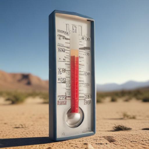
An extreme heat warning is in effect for Southern Nevada through 8 p.m. Wednesday as a high-pressure system pushes temperatures sharply higher. Valley highs are forecast to reach 108 to 114 degrees, with some areas along the Colorado River seeing up to 116 degrees and Death Valley hitting as high as 122. A heat advisory is in place for the nearby mountains, including Mt. Charleston, where highs are expected to be 82 to 88 degrees. Portions of Nye and Lincoln Counties are also seeing daytime highs in the 96 to 106-degree range. Overall, daytime highs and overnight lows will run roughly 4 to 8 degrees above normal across the region.
Today, Las Vegas is expected to be mostly sunny with a high near 111 degrees, though the city’s record of 115 degrees, set in 1937, remains in reach. Southeast winds up to 10 mph are forecast. Air quality is currently good in the morning and is expected to trend from moderate to unhealthy for sensitive groups for ozone later in the day.
Tonight, skies should stay clear with overnight valley low temperatures around 87 degrees and southwest winds of 5 to 10 mph. As winds shift, wildfire smoke from California fires may return to parts of Clark County late Tuesday night into Wednesday.
What’s next: Similar very hot temperatures are predicted to persist on Wednesday, with hazy sunshine in the mix. Monsoon moisture is expected to return next, bringing storms mainly to Arizona midweek. There is an outside chance of showers and storms Thursday, with better odds of active weather in Southern Nevada on Friday (about 30 percent in the valley and local mountains). Storm chances are expected to linger in the high terrain Saturday, while daytime valley temperatures dip to the low 100s Friday through the weekend. Drier air is forecast to arrive Sunday, with highs then rising again to the 104–106 degree range next Tuesday through Thursday.
Safety notes: People should drink plenty of fluids, stay indoors when possible, wear loose-fitting clothing, and limit strenuous activities to the early morning or evening. If outdoors, take frequent rest breaks in cooler or shaded areas.
Around Clark County, operations will continue during daytime hours through Thursday, Aug. 14, in response to the heat.
Why this matters: The heat surge is tied to a persistent high-pressure system pushing temperatures well above normal, with smoke from California fires possibly moving into the area as winds shift and monsoon moisture returns later in the week. While the heat is extreme, staying hydrated, avoiding peak heat hours, and watching for air quality changes can help residents stay safe. A hopeful note is that cooler air and chances of storm energy arrive later in the week, offering some temporary relief.