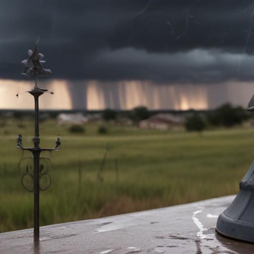
A stagnant summer cool front is expected to move into southeast Texas, bringing potential showers and thunderstorms over the coming days. However, this front is not anticipated to provide any relief from the summer heat. Instead, it is likely to stall in the region, leading to increased chances of rain and occasional storms, with localized flooding possible during heavy downpours.
Today’s forecast indicates a mostly cloudy afternoon with intermittent rain chances. Though the rainfall is expected to be hit-or-miss, there is a risk of localized street flooding if substantial rain occurs, particularly with the highest likelihood of storms occurring between 1 PM and 6 PM.
As we head into the weekend, the stalled front is projected to slide closer to the coast, tapping into moisture from the Gulf, which could lead to heavier downpours. Meteorologists are advising that storm activity will likely ramp up after 1 PM, with the peak chance for storms noted between 5 PM and 7 PM. Scattered storms are expected mainly west of Houston, with development continuing as the evening progresses, especially along the I-10 corridor southward.
In terms of tropical activity, there are currently no developments anticipated over the next week. However, as we move further into August, which traditionally sees an uptick in tropical storms, there may be increased activity to monitor.
Looking ahead, this stormy weather pattern is expected to persist through Tuesday, after which residents will need to brace for rising heat and humidity, with temperatures possibly climbing into the mid to upper 90s.
It’s crucial for families in southeast Texas to stay prepared for the unpredictable weather of hurricane season. Residents can refer to local resources and survival guides to ensure they are ready for any potential storms.
If you notice any remarkable weather phenomena, consider sharing your experiences through photos or videos with local news outlets to engage the community and keep everyone informed.