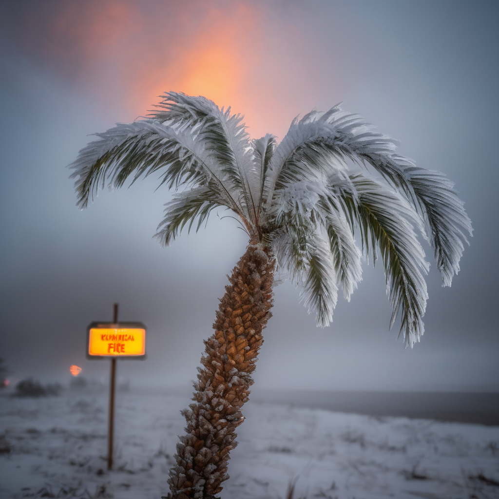
South Florida is experiencing unusual weather conditions today, marked by a combination of cold temperatures and heightened fire risk. A significant drop in temperature has been recorded, with a decrease of roughly 15 to 20 degrees over the past 24 hours. While many enjoyed highs in the middle to upper 80s throughout the weekend, residents are now facing morning temperatures in the 40s, showcasing a stark contrast.
As a result, a Red Flag Warning has been issued, remaining in effect until 7:00 PM. This warning indicates that the humidity levels are exceptionally low, making conditions ripe for fires. Even minor activities, such as idling a vehicle near dry grass, pose a risk for igniting flames. Emergency resource and wildlife management officials have underscored the severity of the situation.
Tonight, freeze warnings will come into effect at 2 AM, extending through tomorrow. These warnings are set to impact the region, particularly in areas like West Palm Beach where overnight lows could reach the upper 30s, and potentially lower 30s along the Treasure Coast. Current temperatures are already on the cooler side, registering 41 degrees in Okeechobee, 46 in Vero Beach, and hovering around 40 in Jupiter.
The ongoing cold front is expected to influence weather through the next few days, with daytime highs today only expected to reach the upper 50s to low 60s. However, there is a silver lining, as the forecast for the upcoming weekend predicts a return to warmer temperatures, with highs hitting the mid-80s. This glimpse of warmth provides a hopeful outlook for residents experiencing the chill today.