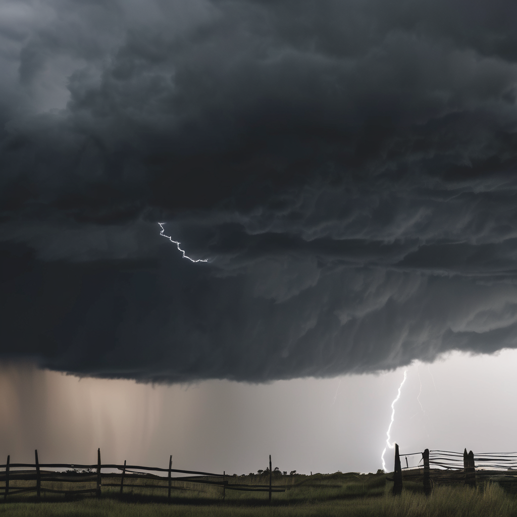
This week’s severe weather threat across America’s Heartland is primarily driven by a clash of seasonal weather systems. A surge of warm, moist air from the Gulf of Mexico is colliding with a cold Canadian air mass, creating a volatile boundary expected to fuel dangerous storms. This atmospheric conflict is anticipated to result in severe weather events, particularly on Friday.
Forecasters have predicted the presence of a powerful jet stream above the region by Friday afternoon, which will provide essential wind shear necessary for the development of intense supercells. This meteorological setup raises concerns, as it combines a strong low-pressure system with high instability, creating conditions conducive to long-lasting and hazardous weather phenomena.
The risk area has significantly expanded, now stretching from Texas and Oklahoma up into the lower Missouri Valley and Wisconsin, with the Storm Prediction Center issuing a Level 3 of 5 risk designation for parts of the Southern and Central Plains as well as the mid-Missouri Valley. This signals a strong likelihood of severe storm development in these areas, prompting residents to be on high alert, particularly in Oklahoma, Kansas, Missouri, and Texas.
The storms may bring life-threatening conditions, including the potential for strong tornadoes, destructive winds reaching speeds of 70 to 80 mph, and large hail capable of causing damage. Additionally, the repeating rounds of heavy rainfall pose a significant risk of flash flooding, particularly from Missouri to the Ohio Valley.
Residents in the affected areas are advised to stay informed and prepared as this severe weather system approaches, and to heed any warnings issued by local authorities and meteorological services. The combination of these atmospheric factors highlights the need for vigilance during this potentially dangerous weather period.