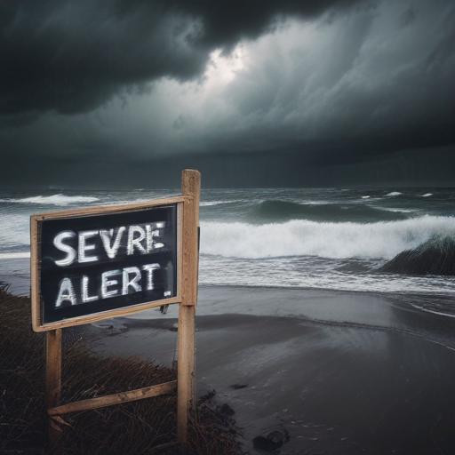
A Level 1 marginal risk for severe weather is forecasted for the Treasure Coast on Friday, extending across the entire area on Saturday. The main concerns include potential strong winds and hail.
Today’s weather will begin with partly sunny conditions, with temperatures rising rapidly due to a southwest wind, reaching the low to mid-90s in the afternoon. Late afternoon may bring scattered showers and thunderstorms, with the Treasure Coast facing a heightened risk for stronger storms that could produce damaging winds and hail.
This evening, lingering storms are expected before temperatures drop to the mid to upper 70s.
Looking ahead to the weekend, conditions will become more unstable as a cold front approaches and stalls over the region. An increase in tropical moisture is anticipated, raising rain chances for both days. On Saturday, the severe weather risks will impact the entire area, with morning storms moving from the Treasure Coast south toward the Palm Beaches by lunchtime. Expected impacts include gusty winds, heavy rainfall, and the possibility of hail.
Sunday will also see scattered showers and storms as the front remains stationary, although some Saharan dust may limit rain chances slightly. High temperatures will range from the upper 80s to near 90 degrees.
The following week is expected to continue with unsettled weather, presenting numerous opportunities for rain. This forecast indicates a dynamic weather pattern ahead, warranting attention for those in the affected areas.