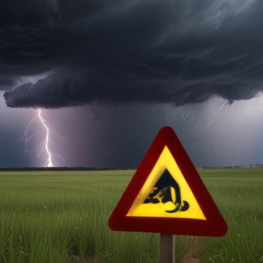
A cold front is set to sweep across Nebraska on Wednesday night, bringing a significant drop in temperatures and the potential for severe thunderstorms on Thursday. Residents should be prepared for hail that could reach the size of large apples and winds gusting up to 70 mph. While tornadoes are a possibility, the primary impact is expected to be felt in terms of severe winds and damaging hail.
Storm activity is forecasted to be most intense in the north central and northeastern parts of the state, although thunderstorms could also make their way south, affecting areas as far down as the Capital City. The higher probability of severe weather will occur in the northern and western regions of Nebraska, with showers and storms anticipated throughout the night.
As Thursday unfolds, wind speeds are predicted to increase significantly from the west and northwest, with gusts averaging between 40 to 55 mph. Temperatures will vary, ranging from the mid 60s in the north to the low 80s in the south — a stark contrast from the warmer weather experienced over the past few days.
Following the cold front’s passage, the night moving into Friday will be marked by clear to partly cloudy skies and sustained winds of 15 to 25 mph, with gusts reaching around 35 mph. Overnight lows are expected to drop into the 40s and 50s.
Looking ahead to the weekend, temperatures will stabilize, lingering in the mid to upper 70s. However, late in the week, the potential for rain returns, especially on Monday and Tuesday, where conditions may again favor severe weather.
This upcoming weather pattern serves as a reminder of the dynamic nature of Nebraska’s climate, where swift changes can lead to both challenges and opportunities for growth in agricultural practices and community preparedness.
Stay informed by subscribing to local news updates for the latest weather developments.