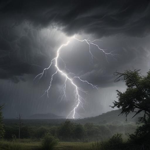
Over 25 million Americans are on alert as severe weather impacts the East Coast this Saturday, bringing damaging winds, large hail, and the potential for tornadoes. The hazardous weather follows a prolonged pattern of disruptive storms and flash flooding that initially struck the central and eastern United States.
The storm system, responsible for this weather pattern, features an “omega block pattern,” which occurs when two storm systems are sandwiched between areas of high pressure, creating drastic weather variations. The primary threats for regions from the Carolinas to New York include damaging wind gusts and large hail, with isolated tornado risks particularly in northern Virginia extending up to New Hampshire. Flash flooding remains a concern in these areas due to the expected heavy downpours.
Severe weather activity is anticipated to intensify after 1 p.m. ET, with showers spreading eastward throughout the afternoon and evening. While the storm activity is set to wane before midnight, the threat of flash flooding will persist overnight.
In the lead-up to this weekend’s events, there have been reports of significant hail, measuring up to tennis ball size, in Texas, along with widespread reports of downed trees and power lines affecting roadways from Texas to Ohio. Damage to structures has been noted as well.
Looking ahead, the western storm system is projected to make its way into central U.S. by Monday, bringing renewed severe weather and flash flooding threats, especially in central Texas, including cities like Fort Stockton, Midland, and Lubbock. On Tuesday, the flash flooding risk will shift further east, affecting areas in the Deep South.
This weather pattern highlights the importance of vigilance and preparedness as communities brace for potential impacts. Residents in affected regions should stay alert for updates from local authorities and take necessary precautions to ensure their safety.
