The National Weather Service has issued a severe thunderstorm watch (Watch 555) that will remain in effect until 4 AM CDT Tuesday. This alert covers 33 counties across central Iowa, as well as parts of north central, northeast, and northwest Iowa.
Key counties affected include Boone, Dallas, and Polk in central Iowa; Black Hawk and Bremer in northeast Iowa; and Emmet and Palo Alto in northwest Iowa, among others. Major cities in the watch area include Des Moines, Ames, and Waterloo, which could experience severe weather conditions.
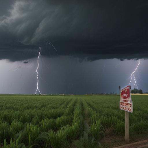
The primary threats from this storm include widespread damaging winds, with gusts expected to reach up to 85 mph in isolated instances. In addition, there is a possibility of isolated large hail events measuring up to 1.5 inches in diameter, and even a chance of one or two tornadoes occurring.
The probability of severe weather highlights significant risks: there is an 80% chance of experiencing 10 or more severe wind events and a 60% chance of wind gusts reaching 75 mph or more. The combination of severe hail and wind events has a greater than 95% probability, indicating that residents should take precautions seriously.
This storm system is expected to move eastward at a speed of 50 mph. Residents in the affected areas are advised to remain alert, monitor local news outlets, and be prepared for potentially hazardous conditions throughout the night.
Stay safe and ensure you have a plan in place in case of severe weather.