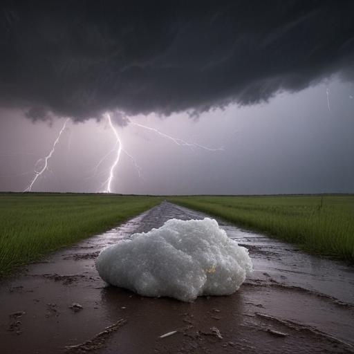
Severe thunderstorms are poised to affect regions from the Rockies through the Great Plains and Midwest this weekend, according to meteorologists at AccuWeather. While these storms are expected to be particularly intense, most will occur in less densely populated areas compared to regions in the East or South.
As of Thursday night, severe weather was already impacting eastern Montana, North Dakota, Manitoba, and Saskatchewan, where wind gusts exceeding 60 mph were reported. The severe weather threat is projected to shift eastward into the Midwest on Friday as conditions become more conducive for intense storms, fueled by a jet stream disturbance interacting with hot, humid air.
AccuWeather Meteorologist Isaac Longley noted that Friday could see “monster hail” with hailstones potentially reaching the size of baseballs or larger, leading to possible significant damage to crops, vehicles, and property.
The area at risk for severe storms on Friday includes Nebraska, southeastern Saskatchewan, and western Ontario, as well as northeastern South Dakota, eastern North Dakota, and a large part of western Minnesota, extending toward Winnipeg, Manitoba.
AccuWeather forecasts that the highest wind gusts on Friday could reach 95 mph, contributing to widespread concerns. The threat of severe storms will continue throughout the weekend, with Saturday expected to bring thunderstorms from northern Kansas and northeastern Colorado to northern Michigan and northeastern Minnesota, impacting major cities such as Minneapolis, Milwaukee, and Des Moines.
In addition to damaging winds and large hail, localized flash flooding may occur in areas experiencing repeated thunderstorms over consecutive days, with a possibility of brief tornadoes in the strongest storms.
While this severe weather poses risks, the advanced warning provided allows residents to prepare and protect themselves. By staying informed through reliable weather apps and updates, communities can work together to mitigate the impacts of these powerful storms.
