The National Weather Service has issued a severe thunderstorm warning for Blount and Jefferson counties, lasting until 3 p.m. on Saturday. The thunderstorms, moving east at 70 mph, are expected to produce wind gusts of up to 70 mph and hail approximately the size of pennies (0.75 inches). The weather service has warned of significant tree damage, as well as the potential for harm to mobile homes, roofs, and small structures.
Affected areas include major locations such as Birmingham, Hoover, Vestavia Hills, Bessemer, Homewood, Mountain Brook, Trussville, Hueytown, Gardendale, Irondale, Leeds, Moody, Fairfield, Fultondale, Oneonta, Blountsville, Cleveland, Dallas, Center Point, and Pleasant Grove. Residents are advised to seek shelter in an interior room on the lowest floor of any building to ensure safety.
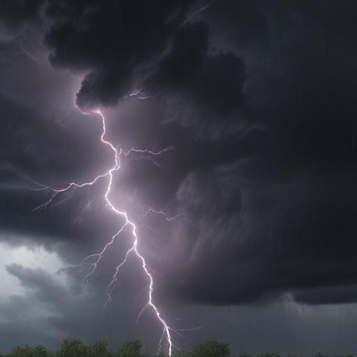
Moreover, with thunderstorms come the threat of lightning, which strikes the U.S. around 25 million times each year, causing approximately 20 fatalities annually. It’s crucial to have a lightning safety plan in mind, be vigilant about weather signs, and avoid using corded phones and electrical appliances when indoors during a storm.
Additionally, the rainy conditions can create hazardous roads. Drivers are advised to maintain safe distances, reduce speed, and prioritize visibility by keeping headlights on. The initial half-hour of rain is often the most dangerous due to the slickness of the roads, so extra caution is warranted as water and oil mix.
By adhering to these safety recommendations, residents can better protect themselves during severe weather conditions. Being prepared and informed plays a vital role in minimizing risks associated with thunderstorms and heavy rains, leading to safer outcomes for all.