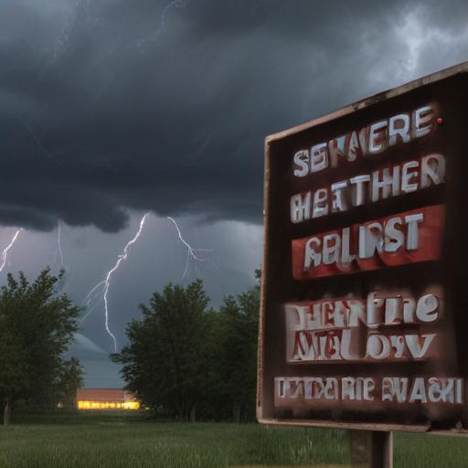
Green Country is bracing for an intense afternoon and evening as storms are expected to increase in both coverage and severity. The National Weather Service has issued a Moderate Risk warning, rating it a level 4 out of 5, which affects the entire region.
Already, a dryline has formed in western Oklahoma and may advance eastward toward Interstate 35. Storms are anticipated to develop ahead of this boundary early in the afternoon, with a second wave expected later in the evening along the dryline.
Residents should prepare for all types of severe weather, including the possibility of softball-sized hail, wind gusts reaching 70-80 mph, and even strong tornadoes. Meteorologists warn that multiple severe storms may occur simultaneously, posing an increased danger to the area.
The potential for storms to develop will likely begin post-lunch hour, aided by a weak atmospheric cap. As the day progresses into evening, storm activity is predicted to intensify along the dryline and cold front, maintaining the risk for severe weather throughout the night.
The hazardous weather may continue past 8 PM tonight, though the storm activity is expected to taper off closer to midnight, with all rainfall moving east by early Tuesday morning.
Additionally, a Flood Watch is currently in effect for the far northeastern counties until Tuesday morning, where rainfall rates could surpass 2-3 inches per hour, potentially leading to an additional accumulation of 2-4 inches by early Tuesday.
This situation underscores the importance of staying informed and prepared, as conditions can change rapidly. Residents are encouraged to monitor the weather closely and follow guidance from local authorities for safety.