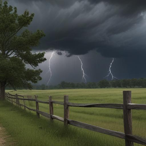
Severe weather is expected to impact north Georgia tonight and early Wednesday, according to Meteorologist Brian Monahan from Severe Weather Team 2. As a cold front approaches, there is an increased risk for strong and severe storms in the region.
Late tonight, particularly in northwest Georgia, a line of storms is forecasted to develop, which may include embedded severe thunderstorms. These storms have the potential to produce damaging wind gusts and a lower risk for large hail. There is also a possibility of brief tornadoes occurring late tonight, especially in the northwest part of the state.
For those in the area, here are the key points to keep in mind for Tuesday: temperatures will be hot and humid, with highs nearing 90 degrees. While the threat of storms remains low during the daytime, that will change after 10 PM when the line of severe storms is expected to reach northwest Georgia and continue moving toward metro Atlanta before 3 AM. Following the front, conditions are anticipated to improve, with clearing skies, a breezy atmosphere, and a decrease in humidity, leading to highs in the 70s later in the week.
Residents are urged to stay alert for updates and monitor the weather closely tonight.