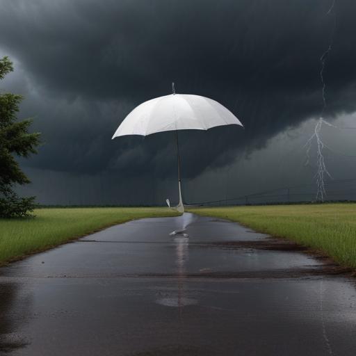
The National Weather Service has issued a warning for more severe storms expected to hit Central Texas late Tuesday evening into early Wednesday morning. Residents of Llano and Burnet counties may experience storm conditions as early as Tuesday afternoon, with squall lines anticipated to develop as the storms track southward through the Hill Country toward Austin.
On Tuesday, high temperatures are forecasted to reach 93 degrees during the day and dip to around 76 degrees at night. Wednesday is expected to bring a high of 90 degrees, with a low of 75.
This warning comes shortly after the severe weather and hailstorms last week, which resulted in power outages for over 72,000 customers of Austin Energy and tragically claimed the life of one resident. The National Weather Service has rated the storm severity at a level two out of five, indicating potential threats such as large hail, damaging winds, and heavy rainfall.
Austin Energy confirmed on social media that they have restored power to all customers affected by the storms from May 30, following extensive repair efforts after the storm caused downed power lines and broken tree limbs across the area. Significant damage was reported at notable locations including the Capitol rotunda, Austin-Bergstrom International Airport, and the University of Texas Longhorns baseball’s UFCU Disch-Falk Field.
As the community braces for the upcoming storms, it remains vital for residents to stay informed and prepared for potentially hazardous weather conditions. With the recent restoration of power and awareness about the upcoming storms, the community shows resilience and a readiness to face the challenges ahead.