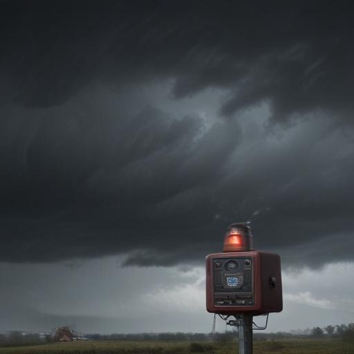
Wednesday is set to bring late-day storms to a week already marked by unsettled weather, prompting alerts for potential severe conditions. A tornado warning is currently in effect for parts of Atlantic and Ocean counties in New Jersey until 11:30 p.m.
As hot and humid weather blankets the region on Wednesday afternoon and evening, conditions are primed for storm development. New York City can expect highs in the upper 80s, feeling closer to the low to mid-90s during peak temperatures.
Storms are anticipated to develop late in the day, particularly impacting Central and South Jersey, where the risk for severe weather is greatest. Forecasts indicate that the strongest storms could bring rainfall rates of 1 to 2 inches per hour, raising concerns over flooding on low-lying roads and potentially swelling nearby rivers and creeks that are already saturated from recent heavy rain.
In addition to heavy rain, damaging winds gusting over 60 mph and small to medium-sized hail may accompany these storms. Such winds pose risks of downed trees and power lines, while hail could cause minor damage to vehicles and homes.
Residents are advised to secure any loose items outdoors that could be blown away by strong winds.
Overnight, the intensity of the storms is expected to decrease, though light rain may persist into the morning commute in some areas. Thursday will largely be dry, although isolated storms could emerge again later in the day due to the ongoing heat.
The threat for storms is predicted to lessen as the weekend approaches. By Saturday, dry conditions are expected, save for the possibility of a stray sprinkle. Sunday is also projected to stay mostly dry during the day, with rain anticipated only later in the evening.
In overall positive news, the upcoming weekend promises a break from the unsettled weather experienced earlier in the week, allowing residents to enjoy time outdoors – albeit with high humidity remaining a constant factor.