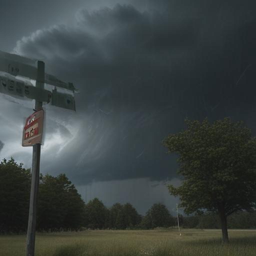
The latest severe weather forecast indicates that significant thunderstorms are expected to hit parts of Michigan this afternoon, particularly in west-central and southwest Lower Michigan. These storms are predicted to develop between 2 p.m. and 4 p.m., eventually moving into eastern Lower Michigan from 5 p.m. to 8 p.m. The timing aligns with peak heating of the day, which traditionally increases the potential for severe weather conditions.
The National Oceanic and Atmospheric Administration (NOAA) highlights that areas shaded in orange on the forecast map show the greatest risk of severe weather, categorized under a Level 3 risk, also known as Enhanced Risk. This includes regions just south of Grand Rapids, Kalamazoo, Battle Creek, Jackson, Lansing, Ann Arbor, and Monroe. Surrounding these areas is a Level 2 risk, while the northern half of Lower Michigan is under a Level 1, indicating a marginal risk for isolated, less severe storms.
The forecasts also note that there is a 5 percent chance of tornadoes within the areas at the highest risk, along with a 30 percent likelihood of wind gusts exceeding 70 mph. For areas marked in yellow, the risk includes a lower chance of tornadoes and a 15 percent likelihood of damaging winds. The potential for hail up to one inch in diameter has been noted but is considered a lesser concern.
Residents are advised to take precautions, such as parking vehicles in garages and avoiding outdoor activities. It is recommended to stay close to sturdy shelter during the expected storm timeline and to remain aware of any updates regarding the severe weather forecast.
As storms approach, it’s important for the community to stay informed and prepared. These severe events can lead to significant impacts, but by taking safety precautions, residents can minimize risks and protect themselves and their property.
