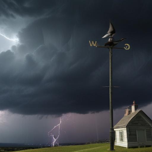
Meteorologist Matt Serwe provides an update on the weather forecast for Monday afternoon, June 16, 2025, highlighting the potential for severe storms. A Forecast First Alert is in effect, warning residents to be prepared for conditions that could bring large hail, strong winds, and possibly a few tornadoes.
Currently, a line of less intense storms is passing through the Twin Cities, accompanied by rainfall and lightning, but their severity remains uncertain regarding their impact later in the day. As skies clear in southwest Minnesota, new storm formations in the western and southwestern regions are expected after 2:00 PM, before tracking eastward.
The greatest threat for severe storms, including large hail and tornadic activity, appears to be situated to the west of the Twin Cities. As these storms develop later in the afternoon, a line of damaging winds and hail could arrive in the metro area between 4:00 PM and 7:00 PM. Residents are advised to stay informed about severe weather alerts, particularly during the evening commute when heavy rain could cause traffic delays.
Looking ahead, isolated thunderstorms will continue to be a possibility throughout the week, although the overall risk of severe weather remains low. Friday may see the emergence of stronger storms as well.
Temperatures during the upcoming work week are expected to range from the low to mid-80s, with the weekend likely seeing a more significant warm-up as a larger ridge sets in over the northern United States, potentially pushing temperatures into the low 90s, coupled with increased humidity.
In light of this forecast, it’s crucial for individuals to stay vigilant and prepared for changing weather conditions, ensuring safety measures are in place should severe weather strike.
