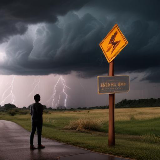
Severe thunderstorms are forecasted to impact central and eastern Oklahoma, the far northwest of Arkansas, southwestern Missouri, southeastern Kansas, and the far north of Texas on Monday, with the National Weather Service issuing a Level 4 out of 5 risk for severe weather. These storms, known as supercells, are capable of producing extreme weather conditions such as damaging wind gusts, substantial hail, and even tornadoes if atmospheric conditions align correctly.
Meteorologists indicate that these supercell thunderstorms may remain active for several hours and may also coalesce into larger storm clusters, introducing an added risk of straight-line winds. These winds, typically non-rotational like those of a tornado, could reach speeds between 60 to 80 miles per hour, as highlighted by meteorologist Mr. Smith. Additionally, hail could potentially exceed the size of a baseball, posing a significant hazard.
Thunderstorms are anticipated to initiate just west of Interstate 35, a key roadway that runs through Oklahoma and Texas, and are expected to progress eastward throughout Oklahoma and into the Ozarks region by the evening. The threat of severe weather may extend into parts of Missouri and nearby areas into Monday night.
This situation underscores the importance of monitoring weather forecasts and taking preventive measures to ensure safety as these powerful storms approach. Staying informed can help communities prepare for potential hazards, emphasizing the need for readiness in the face of severe weather.
