SEATTLE — The weather forecast for Seattle indicates a wet and breezy Friday, with temperatures ranging from a morning low of 52 degrees to an afternoon high of 60. An atmospheric river is expected to deliver heavy rain and gusty winds to Vancouver Island until early morning, but the focus will shift southeastward as the day progresses.
By the early hours of Friday, particularly between 4 a.m. and 7 a.m., the Olympic Peninsula will experience heavy rainfall. However, the Puget Sound region and I-5 corridor are likely to remain dry until post-sunrise, when the rain is anticipated to intensify. As the day continues, rain will slowly move inland, with the heaviest precipitation expected during the afternoon for urban areas and islands.
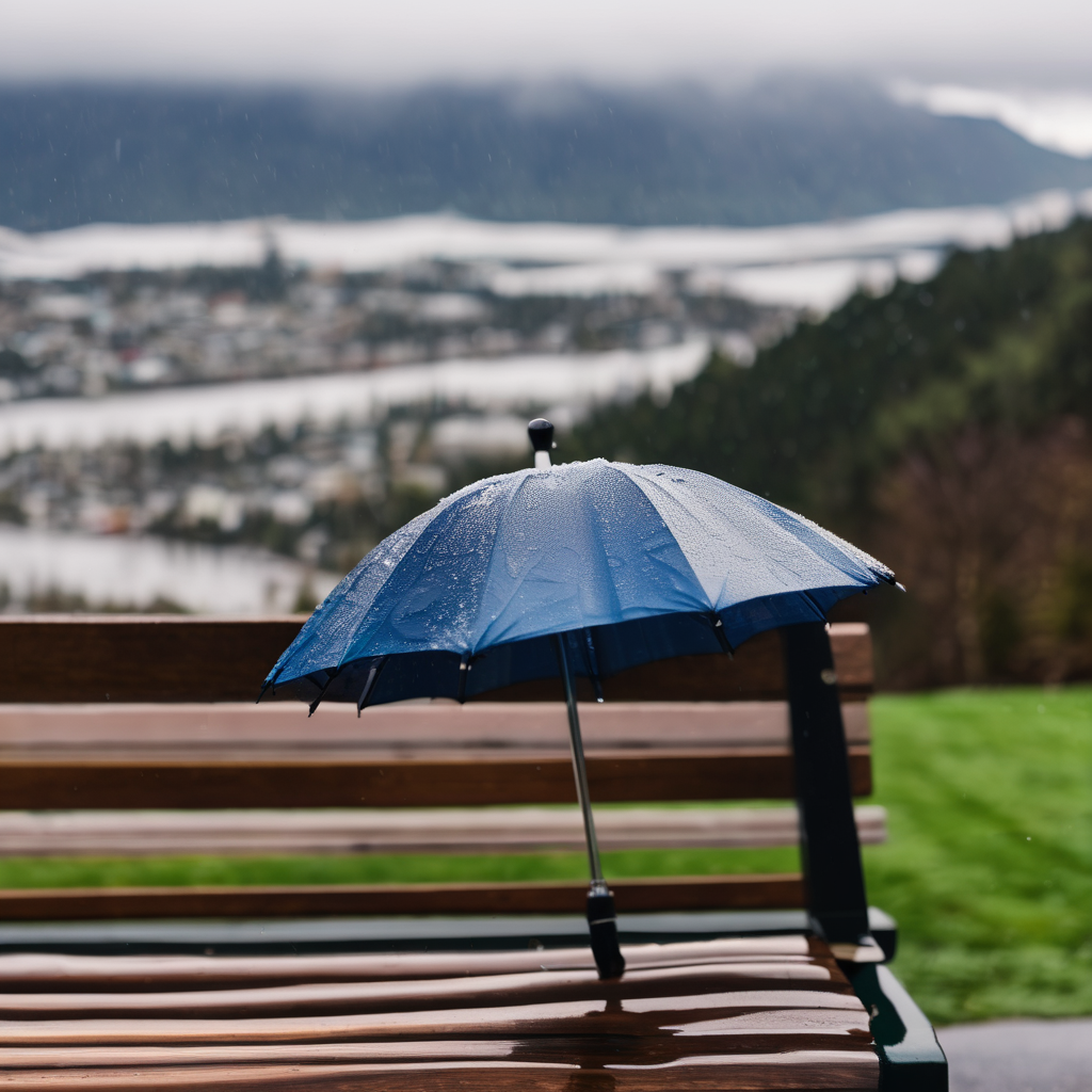
Rainfall rates may be sufficient to overwhelm drainage systems already clogged with autumn leaves, and gusty winds ranging from 20 to 35 mph could bring down even more wet foliage. Although the weather won’t escalate into an extreme wind or widespread flooding event, it is expected to disrupt travel plans.
Previous weeks have seen similar wind speeds, yet there remains a risk of isolated power outages typical during stormy fall conditions. In the mountains, snow levels will be at or above 7,000 feet, and while rainfall is likely to occur, it is not expected to push the already manageable Skokomish River to flood stage due to reduced runoff.
Friday night will bring a slight reprieve from steady rainfall, though showery conditions will persist, and those attending football games or gatherings should prepare for potentially windy and wet weather.
Saturday will introduce another weather system—a low-pressure system moving offshore toward Vancouver Island, which will lead to intermittent rain showers across Western Washington. Wind gusts may reach up to 40 mph, creating a risk of isolated power outages, but this forecast does not point to a severe windstorm.
As temperatures drop throughout the day, snow levels in the mountains will fall to around 4,000 feet by evening, possibly resulting in accumulating snow around Stevens Pass and slushy conditions at Snoqualmie Pass. Travel difficulties are anticipated at Stevens Pass later Saturday night, although I-90 at Snoqualmie Pass is expected to remain primarily wet.
By Sunday, the threat of heavy rainfall in the lowlands diminishes to light nuisance showers, and wind speeds will taper off as the weekend draws to a close. Highs throughout the weekend are forecasted to settle in the lower to mid-50s, marking some of the chilliest temperatures of the season.
As the week progresses, isolated rain showers may persist into Monday, followed by more unsettled conditions, including possible rain and snow at higher elevations. The upcoming weather pattern signals a typical yet unpredictable fall in the Pacific Northwest.