Savannah, Ga. is experiencing a Weather Aware Day as temperatures have plummeted into the mid to upper 20s. This has resulted in parts of the area experiencing freezing conditions, which have caused refreezing of any moisture left on roads, sidewalks, and bridges, leading to patches of black ice. Residents are urged to exercise caution if venturing outside, especially in the early hours.
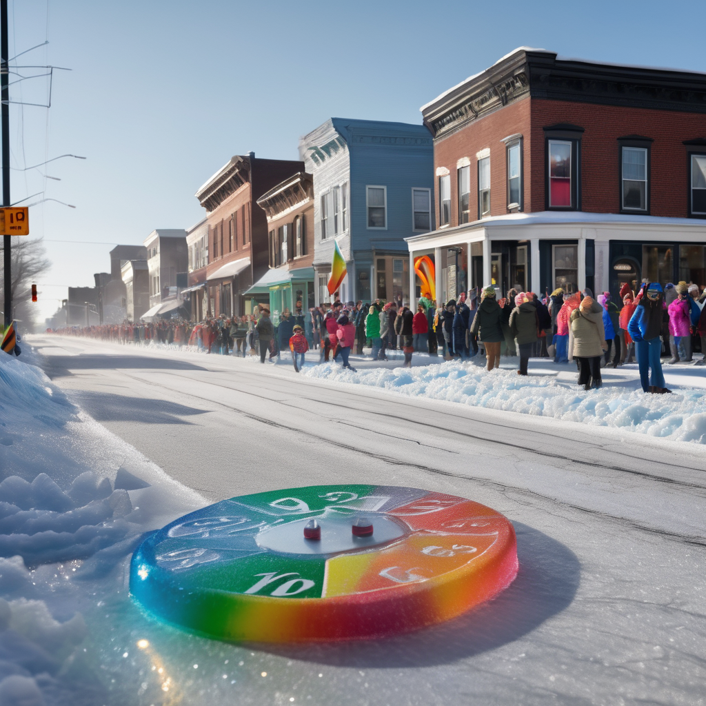
For those attending the Martin Luther King Jr. parade, it’s important to bundle up, as temperatures will only reach the upper 30s to lower 40s at the parade’s start, accompanied by cold and breezy conditions. Although the afternoon is expected to be sunny, temperatures will struggle to exceed the low 50s.
The area can expect another freezing night, with a potential morning freeze tomorrow. The chill will continue into the afternoon, maintaining highs around the low 50s. A similarly cold night is anticipated thereafter.
Looking ahead, temperatures will begin to gradually warm up by Wednesday, reaching closer to average with highs in the low 60s. This warming trend is expected to persist into Thursday and Friday, with temperatures climbing into the mid and upper 60s, respectively, just in time for the next weather system.
As the weekend approaches, there is a possibility of precipitation from Saturday night into Sunday morning. Temperatures are anticipated to hover around freezing during this period, which raises the potential for a wintry mix. However, predictions remain early, and weather trends will be closely monitored. Following this midweek warm-up, colder air is projected to return next week with lows in the 30s and highs mainly in the 40s and 50s, significantly below the seasonal average. Residents are encouraged to enjoy the warmer temperatures while they last.