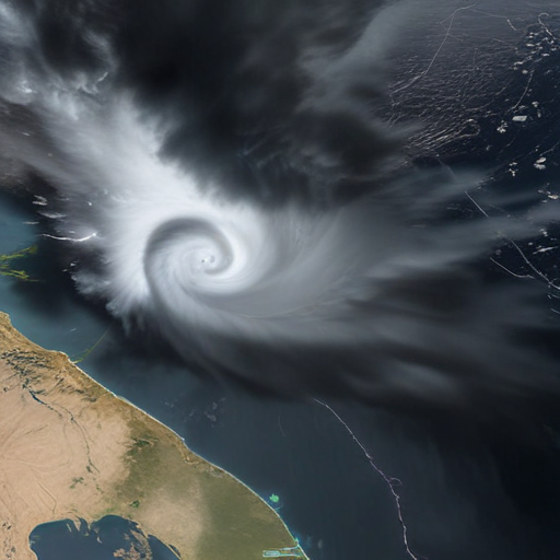
NOAA’s GOES West satellite, known as GOES-18, recently captured stunning images of a significant mid-latitude cyclone accompanied by an atmospheric river impacting northern California, the Pacific Northwest, and British Columbia between November 19 and 20, 2024. This powerful weather event has resulted in strong winds, heavy rainfall, and mountain snowfall in the affected areas, raising concerns about flash floods, landslides, and debris flows.
The satellite imagery illustrates the low-pressure system, located around 300 miles off Washington’s coast, which is actively drawing in moisture from a robust atmospheric river that crosses the Pacific Ocean. The combination of these factors has led to hurricane-force winds, resulted in at least two fatalities, left hundreds of thousands without power, caused extensive damage to trees, and created blizzard conditions in the Cascade Mountains. This event has been classified as a “bomb cyclone,” a term used to describe mid-latitude storms that rapidly intensify with a significant drop in central pressure.
GOES West has been monitoring weather patterns since its full operational launch in February 2019, offering essential data coverage for the Western Hemisphere, including the U.S., Pacific Ocean, Alaska, and Hawaii.
In light of the destructive nature of this storm, it’s a poignant reminder of the impact climate phenomena can have on communities. However, it also highlights the importance of advanced satellite technology in providing timely information to help mitigate the effects of such extreme weather events. By monitoring and forecasting these systems, communities can better prepare and respond, ultimately enhancing resilience against future storms.
