ROCHESTER, Minn. – A First Alert Day has been declared for Sunday as a potent low-pressure system approaches, bringing with it the prospect of rain, a wintry mix, and significant snowfall from Sunday afternoon through early Monday morning.
The weather is expected to start with light showers and a drizzle on Sunday morning, transitioning into a wintry mix by late morning, as temperatures drop due to incoming cold air from the north. By the afternoon, precipitation is anticipated to turn to snow, with moderate to heavy snowfall predicted during the afternoon and early evening hours.
Travel conditions may become treacherous as accumulating snow could lead to slick roadways. Snowfall totals are estimated to be between 2 to 5 inches for areas north of I-90. In contrast, regions south of I-90 may experience lighter snowfall amounts ranging from 1 to 3 inches. This forecast is subject to change in the coming hours, and residents with travel plans for Sunday should remain vigilant and monitor updates closely.
As temperatures drop, wind gusts are expected to ramp up to 30-40 mph after 3 p.m., contributing to blowing and drifting snow, which could greatly impact visibility, particularly outside of urban areas on highways and interstates.
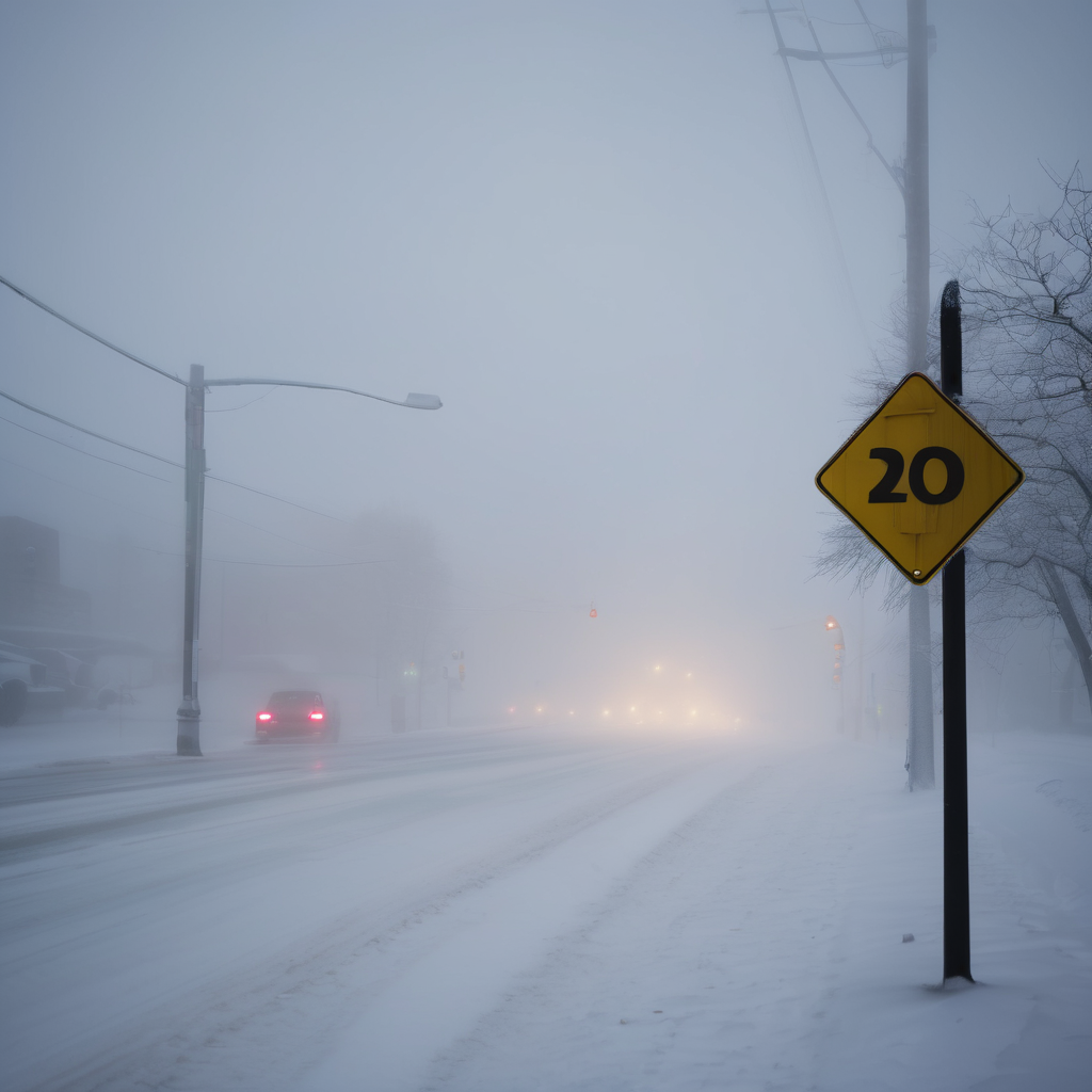
Additionally, a Dense Fog Advisory is currently in effect until noon on Saturday, with snow and fog conditions likely to further complicate travel over the weekend.
As winter weather arrives in full force, communities are encouraged to prepare accordingly, ensuring safe travel and staying informed of updates from local weather resources.