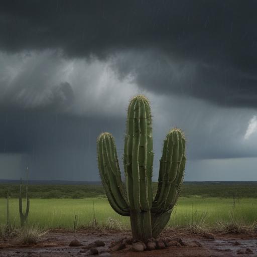
A weak cold front is expected to bring some relief to Central Texas today with the possibility of showers and storms. While temperatures are projected to be slightly lower compared to recent days, the humidity will continue to make it feel quite hot.
Today marks a return of rain chances as the region experiences its second consecutive day of extreme heat, having reached 102 degrees yesterday, which was the hottest day of the year so far. Although temperatures will still be high, forecasts indicate a decrease in temperatures later this weekend, with readings in the low to mid-90s on Saturday and Sunday.
The frontal system moving through can trigger some storms this afternoon, potentially causing heavy downpours that may lead to localized street flooding during peak travel times. Fortunately, the activity is expected to diminish later tonight as the day cools off.
Looking ahead to Monday, a greater chance of rain may develop as an upper-level ridge builds to the west, bringing with it disturbances that could result in additional showers and storms. After this brief midweek reprieve, temperatures are likely to ascend again, with highs nearing 100 degrees as the ridge becomes more dominant in the week ahead.
Stay safe and make sure to stay hydrated as we navigate these changing conditions!