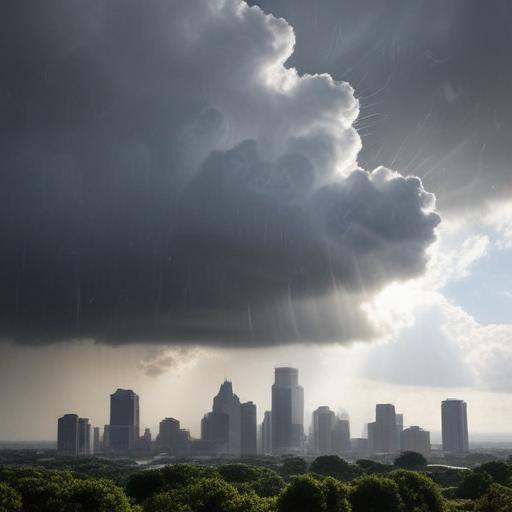
Austin’s weather is currently influenced by three main weather systems: a high-pressure area to the east, a low-pressure trough to the northwest, and tropical moisture arriving from the southwest. This setup has led to a shift in the rain forecasts, with expectations now pointing towards increased rain chances on Thursday, a time typically marked by dry conditions.
The remnants of Tropical Storm Barry, which recently made landfall in central Mexico, are now bringing showers and thunderstorms to regions of South and West Texas, including the Rio Grande region and the Hill Country. Meanwhile, high-pressure systems are pulling in moisture from the Gulf of Mexico, resulting in frequent sea-breeze showers and isolated thunderstorms that have become a staple occurrence in Austin afternoons.
Sea-breeze showers form as the sun heats the land, causing moisture-laden air to rise, cool, and condense into clouds, eventually leading to precipitation. In Austin, these showers generally happen in the late afternoon or early evening as they propagate from the coast, though they often lose intensity as they encounter drier air while moving inland.
With the influx of tropical moisture, the atmosphere is now saturated enough that precipitable water values are exceeding 2 inches. This measurement indicates a higher potential for significant rainfall, raising concerns about localized flooding in low-lying areas. On Thursday, forecasters expect a 30-40% chance of scattered rain and storms, which could bring between half an inch to an inch of rain—an especially welcome event considering that July is Austin’s second-driest month, averaging only 1.96 inches of rain.
Temperatures are projected to remain close to seasonal norms, with morning lows in the mid-70s and afternoon highs reaching the upper 80s to near 90 degrees. As for the Independence Day forecast, while the likelihood of significant disruptions to fireworks events is low, some isolated showers and storms may linger in Central Texas, particularly over the Rio Grande and Hill Country, as high pressure shifts westward but doesn’t completely eliminate rain chances. Residents can expect warm temperatures in the low 90s, with humidity leading to heat indices nearing 100 degrees.
This change in weather patterns brings hope for some much-needed rain to the region, potentially alleviating dry conditions and sparking vibrant summer greenery.
