A powerful cyclone is currently sweeping across the northern United States, delivering severe winter weather conditions from the Midwest to the East Coast. The National Weather Service (NWS) reports the storm is expected to bring heavy snowfall, extreme cold, and damaging winds, creating hazardous conditions across a broad swath of the country, including areas from Montana to Maine and Texas to Pennsylvania.
The NWS has issued winter storm warnings for over 8 million residents and blizzard warnings for nearly 2 million. Meteorologists expect the storm to reach its peak intensity on Monday morning before moving swiftly into southeastern Canada. Snowfall is anticipated to diminish across the Great Lakes region throughout Monday, although heavy lake-effect snow may persist in parts of the Snow Belt and the lower Great Lakes until at least mid-week.
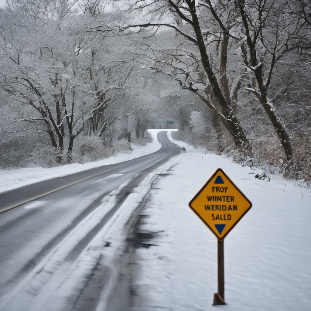
As the storm progresses eastward, various states are advising residents to prepare for severe weather. For instance, the NWS in Pittsburgh has warned about intense snow squalls that could lead to dangerously low visibility and treacherous road conditions, particularly between 3 p.m. and 8 p.m. local time on Monday. Additionally, the NWS office in Buffalo, New York, predicts lake-effect snow to develop throughout the day.
In New England, a mix of sleet and freezing rain is affecting areas as far north as Burlington, Vermont, while parts of western and central Massachusetts are on high wind alert, with gusts potentially reaching 60 mph from Monday night into Tuesday.
Furthermore, the Arctic cold front accompanying the storm is expected to bring a dramatic temperature drop, concluding the recent mild weather experienced across much of the central United States. On Monday, temperatures are forecasted to be a staggering 30 to 40 degrees lower than those recorded the previous day. In Dallas, Texas, for example, the temperature plummeted from the 80s to the 40s overnight. The NWS in Miami has also warned residents of a significant cold front expected on Monday night, resulting in below-average temperatures.
Forecasts project substantial snowfall accumulations in the upper Great Lakes region, with amounts potentially exceeding a foot in some areas. As a result, dangerous whiteout conditions could occur, with the likelihood of fallen trees and downed power lines. The NWS has advised against travel in southern Minnesota due to “blowing and drifting snow,” with conditions rated as life-threatening in certain places.
In Michigan, a high wind warning remains in effect, with expected gusts of up to 55 mph, further complicating travel via near-zero visibility and drifting snow. Local authorities, such as Marquette’s Mayor Paul Schloegel, express confidence in their preparedness for dealing with the impacts of the storm, prioritizing community safety and efficient snow removal.
Despite the harsh conditions, some residents embrace the winter weather, valuing the seasonal changes that characterize their climate. With dedicated public works teams at the ready, communities are united in facing the challenges posed by this impressive winter storm, demonstrating resilience and readiness to navigate the coming days.