The Anglican Church is poised to enhance its efforts toward climate resilience and disaster preparedness across the Pacific region with a dedicated vulnerability assessment program known as the Community Integrated Vulnerability Assessment (CIVA). This initiative, driven by community engagement, aims to help villages better understand and manage the risks linked to natural disasters.
The CIVA program includes a variety of actions designed to improve safety and preparedness within communities. These measures involve upgrading evacuation centers, ensuring communities have reliable access to food and water during emergencies, organizing supply logistics, and prioritizing support for vulnerable populations before and after disasters occur.
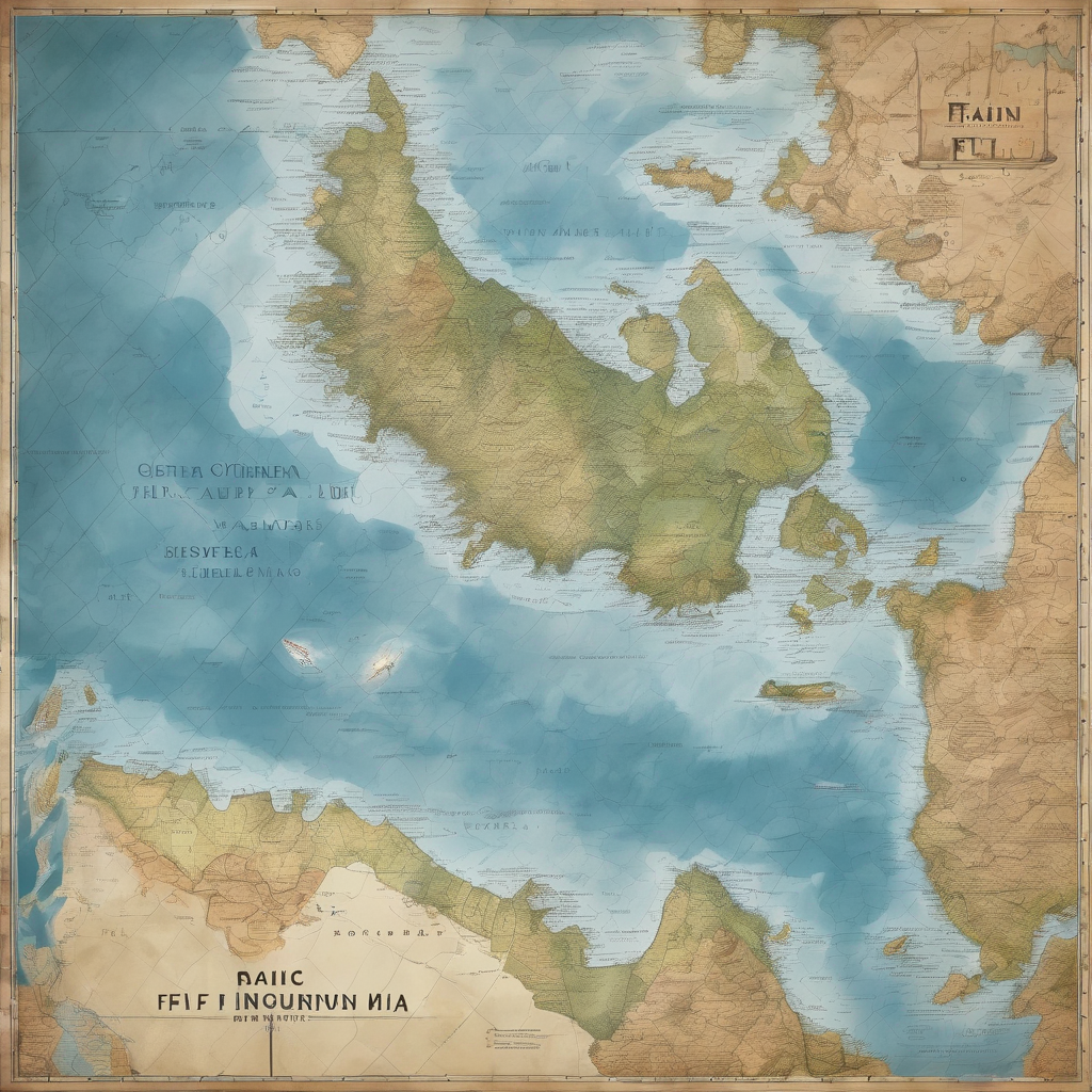
A key focus of this innovative initiative was highlighted during the Diocese of Polynesia Synod, conducted at the Holy Trinity Cathedral in Suva, Fiji. This gathering, which involved Anglicans from nations including the Cook Islands, Fiji, Samoa, and Tonga, served as a platform to discuss the program’s objectives.
CIVA has received widespread recognition for its community-driven approach, particularly its youth-led initiatives from the Diocese of Polynesia, and Anglican groups in Tonga and Fiji, which have been showcased in reports to the United Nations Human Rights Council. These efforts are seen as exemplary models for enhancing locally driven climate resilience.
Supported by Anglican Missions and diocesan development teams, the CIVA program underscores the Church’s commitment to safeguarding Pacific communities, fostering climate adaptation, and empowering local leadership in reducing disaster risks. The initiative provides Anglican parishes and local communities with critical tools to assess their environmental and social vulnerabilities. By employing digital mapping technologies in conjunction with community-driven consultations, CIVA highlights hazard zones, identifies vulnerable households, maps evacuation routes, and pinpoints infrastructure gaps and social support networks.
With trained parish leaders and youth utilizing mapping tools like QGIS, nuanced vulnerability maps are created, capturing essential socio-cultural and household-level risks that might otherwise be ignored. The insights gathered through talanoa sessions and community workshops are crucial in developing actionable Resilience Action Plans tailored to each community’s specific needs, ultimately fostering a hopeful and resilient future for Pacific Islanders grappling with the impacts of climate change.